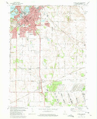
1974 Map of La Porte East
USGS Topo · Published 1975About this map
The glacial lakes of northern Indiana define the landscape of La Porte during the mid-1970s. This survey records a dense urban core characterized by public institutions like the Courthouse, City Hall, and Auditorium, which sit alongside historic religious centers including St Peters Ch and St Johns Sch. To the southeast, the residential developments of Monroe Manor and Salem Heights suggest post-war suburban expansion, while the southern reaches of the quadrangle are dominated by the industrial and conservation footprint of the Kingsbury State Fish and Game Area and a large Ordnance facility.
Find a feature on this map
57 named features on this map. Tap any name to fly to it.
Don’t see what you’re looking for? This feature index may not catch every label — zoom into the map to look around manually.
Map Details
Editions of this 1974 La Porte East Map
3 editions found
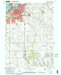
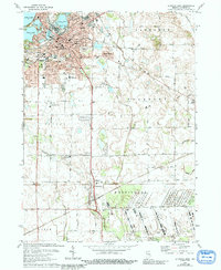
Other maps of this area

1953 · Chicago
USGS Topo · 1:250,000

1957 · Chicago
USGS Topo · 1:250,000

1958 · Hanna
USGS Topo · 1:24,000

1958 · Kingsford Heights
USGS Topo · 1:24,000

1958 · Hamlet
USGS Topo · 1:24,000

1958 · Stillwell
USGS Topo · 1:24,000

1958 · Michigan City East
USGS Topo · 1:24,000

1958 · La Porte East
USGS Topo · 1:24,000

1958 · Springville
USGS Topo · 1:24,000

1958 · New Carlisle
USGS Topo · 1:24,000