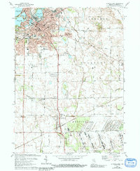
1974 Map of La Porte East
USGS Topo · Published 1991About this map
The city of La Porte serves as a dense hub of industrial and civic life, where the Norfolk and Western and Chesapeake and Ohio railroads intersect near the city center. A chain of glacial lakes—Pine Lake, Stone Lake, Lily Lake, and Clear Lake—borders the urban area to the northwest, providing a sharp contrast between the structured city grid and the water-defined landscape. Local life is documented through numerous institutions, including St Josephs Church and several community schools like Keesling Jr High School and Maple School.
Find a feature on this map
63 named features on this map. Tap any name to fly to it.
Don’t see what you’re looking for? This feature index may not catch every label — zoom into the map to look around manually.
Map Details
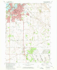
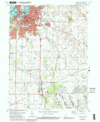
Editions of this 1974 La Porte East Map
3 editions found
Other maps of this area

1953 · Chicago
USGS Topo · 1:250,000

1957 · Chicago
USGS Topo · 1:250,000

1958 · Hanna
USGS Topo · 1:24,000

1958 · Kingsford Heights
USGS Topo · 1:24,000

1958 · Hamlet
USGS Topo · 1:24,000

1958 · Stillwell
USGS Topo · 1:24,000

1958 · Michigan City East
USGS Topo · 1:24,000

1958 · La Porte East
USGS Topo · 1:24,000

1958 · Springville
USGS Topo · 1:24,000

1958 · New Carlisle
USGS Topo · 1:24,000