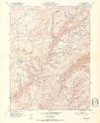
1951 Map of La Porte
USGS Topo · Published 1952About this map
Gold mining history and mid-century forestry intersect across the Plumas Co Sierra Co boundary in the northern Sierras. This survey, compiled from 1946 aerial photography, details a landscape defined by hydraulic mining scars and the persistent remains of the California Gold Rush. Named mining camps and small settlements like La Porte and Gibsonville anchor the region, while the terrain is marked by numerous active and dormant sites such as the Bellevue Mine, Caledonia Mine, and the Union Keystone Mine.
Find a feature on this map
62 named features on this map. Tap any name to fly to it.
Don’t see what you’re looking for? This feature index may not catch every label — zoom into the map to look around manually.
Map Details
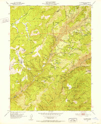
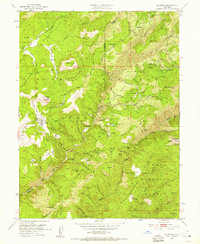
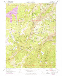
Editions of this 1951 La Porte Map
4 editions found
Other maps of this area

1888 · Bidwell Bar
USGS Topo · 1:125,000

1891 · Bidwell Bar
USGS Topo · 1:125,000

1891 · Downieville
USGS Topo · 1:125,000

1893 · Bidwell Bar
USGS Topo · 1:125,000

1893 · Downieville
USGS Topo · 1:125,000

1895 · Bidwell Bar
USGS Topo · 1:125,000

1895 · Downieville
USGS Topo · 1:125,000

1896 · Downieville
USGS Topo · 1:125,000

1897 · Bidwell Bar
USGS Topo · 1:125,000

1897 · Downieville
USGS Topo · 1:125,000