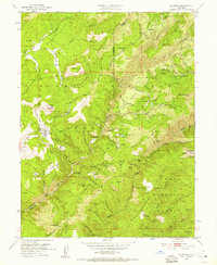
1951 Map of La Porte
USGS Topo · Published 1957About this map
Gold mining operations and timbered ridges dominate this high-country landscape along the Plumas and Sierra County line in the early 1950s. The region is marked by an extensive network of ditches and hydraulic mining scars, notably at the Yankee Hill Placer Diggings and the Howland Flat area. Traditional hard-rock and placer sites are scattered throughout, including the Union Keystone Mine near the northern boundary and the Caledonia Mine tucked within the Plumas National Forest. Local history is centered on old mountain settlements and remote outposts such as Gibsonville, Port Wine, and the St Louis site, the latter of which still retains its St Louis Cem. The complex hydrology of the Sierras is evident in the many ravines and creeks, such as Slate Creek and Canyon Creek, which historically supported the heavy water demands of the local mining industry.
Find a feature on this map
102 named features on this map. Tap any name to fly to it.
Don’t see what you’re looking for? This feature index may not catch every label — zoom into the map to look around manually.
Map Details
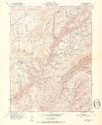
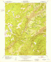
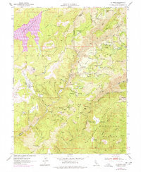
Editions of this 1951 La Porte Map
4 editions found
Other maps of this area

1888 · Bidwell Bar
USGS Topo · 1:125,000

1891 · Bidwell Bar
USGS Topo · 1:125,000

1891 · Downieville
USGS Topo · 1:125,000

1893 · Bidwell Bar
USGS Topo · 1:125,000

1893 · Downieville
USGS Topo · 1:125,000

1895 · Bidwell Bar
USGS Topo · 1:125,000

1895 · Downieville
USGS Topo · 1:125,000

1896 · Downieville
USGS Topo · 1:125,000

1897 · Bidwell Bar
USGS Topo · 1:125,000

1897 · Downieville
USGS Topo · 1:125,000