Loading...
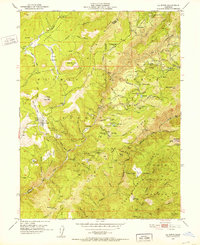
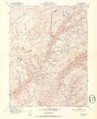
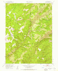
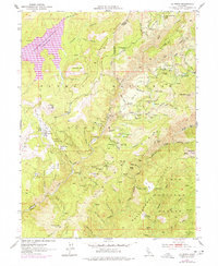
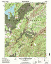
Loading map...1951 Map of La Porte
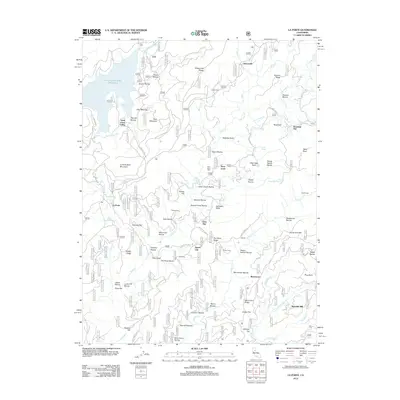
USGS Topo · Published 1952About this map
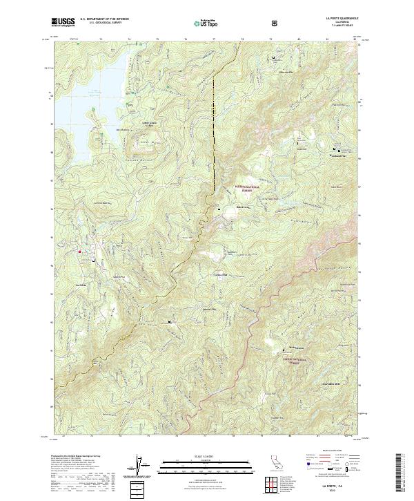
The gold-mining legacy of the northern Sierras is etched across this landscape, where the Plumas Co Sierra Co line divides a terrain defined by hydraulic and placer workings. At the center of this 1951 field-checked survey lies La Porte, surrounded by the high-elevation settlements of Gibsonville, Howland Flat, and St Louis. These camps, many established during the California Gold Rush, are connected by an intricate network of ditches and ravines, such as Sacketts Ditch, which were essential for moving water to the various diggings.
Find a feature on this map
92 named features on this map. Tap any name to fly to it.
Don’t see what you’re looking for? This feature index may not catch every label — zoom into the map to look around manually.
Map Details
Date Portrayed1951
Date Published1952
PublisherU.S. Geological Survey
Map TypeTopographic
Scale1:24,000
Physical Dimensions22 x 26.9 inches
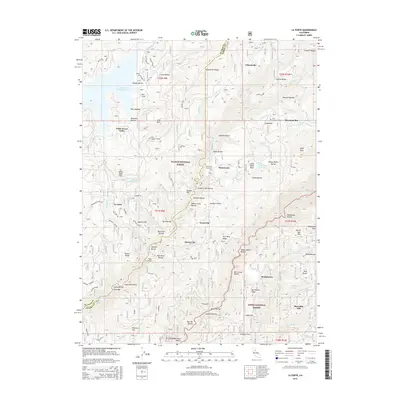
Editions of this 1951 La Porte Map
4 editions found
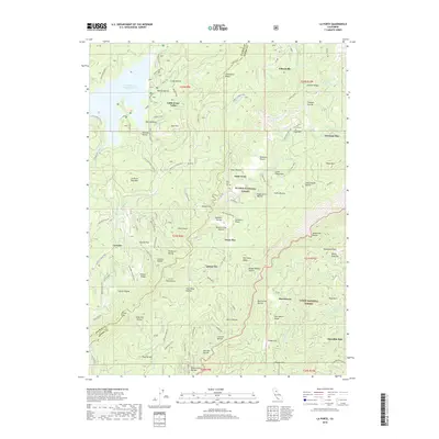
Historical Maps of Gibsonville Through Time
6 maps found
Featured Locations
Source Details
SourceU.S. Geological Survey
CopyrightPublic Domain