Loading...
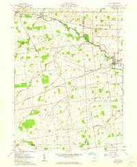
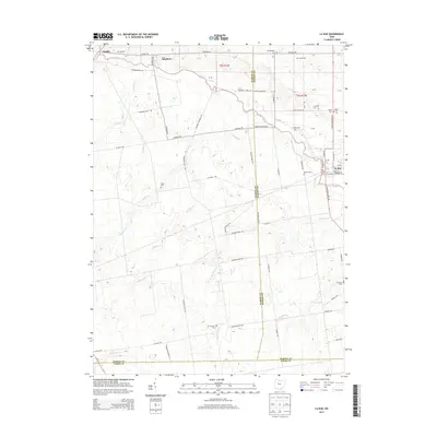
Loading map...1961 Map of La Rue
USGS Topo · Published 1962About this map
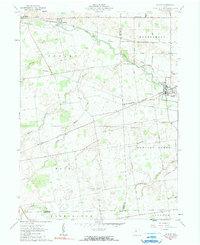
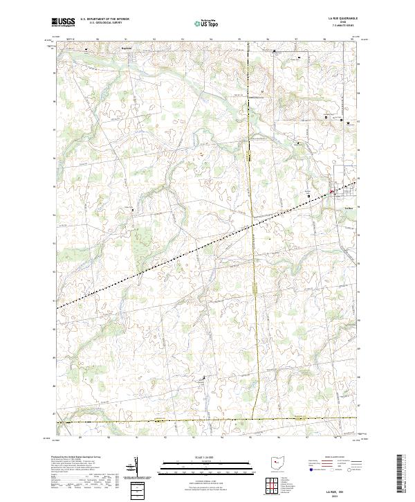
The Scioto River winds through this rural landscape at the intersection of Hardin and Marion counties, anchoring a network of small settlements and family-named cemeteries. La Rue stands as the primary hub, served by the New York Central and the Erie-Lackawanna railroads which intersect near the center of town. The surrounding townships, including Dudley, Montgomery, and Bowling Green, are defined by an agricultural grid dotted with small family burial grounds like Crandall Cem, Myres Cem, and Vesey Cem.
Find a feature on this map
43 named features on this map. Tap any name to fly to it.
Don’t see what you’re looking for? This feature index may not catch every label — zoom into the map to look around manually.
Map Details
Date Portrayed1961
Date Published1962
PublisherU.S. Geological Survey
Map TypeTopographic
Scale1:24,000
Physical Dimensions22 x 26.9 inches
Editions of this 1961 La Rue Map
2 editions found
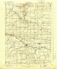
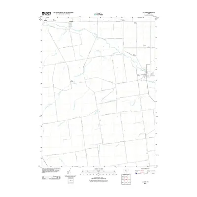
Historical Maps of La Rue Through Time
7 maps found
Featured Locations
- Jackson Township, OH
- Hale Township, OH
- Bowling Green Township, OH
- Pfeiffer, Dudley Township
- La Rue, Montgomery Township
Source Details
SourceU.S. Geological Survey
CopyrightPublic Domain