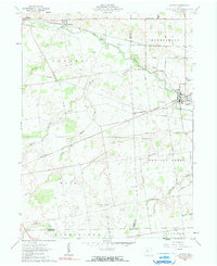
1961 Map of La Rue
USGS Topo · Published 1990About this map
The Scioto River snakes through this agricultural landscape at the junction of Hardin and Marion Counties, anchoring the village of La Rue. This 1961 record shows a region defined by its rail connections and small, dispersed settlements. The Erie-Lackawanna railroad runs through the north near Hepburn and Pfeiffer, while the New York Central intersects at the town of La Rue, illustrating the importance of rail transit to the local economy.
Find a feature on this map
49 named features on this map. Tap any name to fly to it.
Don’t see what you’re looking for? This feature index may not catch every label — zoom into the map to look around manually.
Map Details
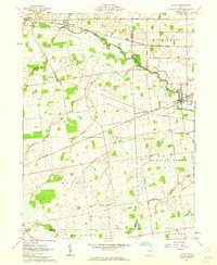
Editions of this 1961 La Rue Map
2 editions found
Other maps of this area

1913 · East Liberty
USGS Topo · 1:62,500

1913 · Richwood
USGS Topo · 1:62,500

1915 · Richwood
USGS Topo · 1:62,500

1915 · East Liberty
USGS Topo · 1:62,500

1915 · Kenton
USGS Topo · 1:62,500

1915 · La Rue
USGS Topo · 1:62,500

1944 · East Liberty
USGS Topo · 1:62,500

1944 · Kenton
USGS Topo · 1:62,500

1944 · Richwood
USGS Topo · 1:62,500

1950 · Marion
USGS Topo · 1:250,000