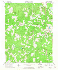
1966 Map of Ladysmith
USGS Topo · Published 1968About this map
Ladysmith serves as a central hub in this mid-1960s survey of the Virginia interior, situated at a junction near the South River and the border between Caroline and Spotsylvania counties. The landscape is defined by its complex waterway system, including the Mat River, Matta River, and Motto River, which historically dictated the placement of early industry like Colemans Mill and agricultural landmarks such as Temples Millpond. The map reveals a high density of rural social infrastructure, with family-named locations like Nancy Wrights Corner and Wallers Corner anchoring the community alongside numerous congregations including Beulah Ch and Rehoboth Ch. For genealogists, the map is particularly valuable for locating vanished or remote institutions like the Berkeley Sch and Smith High Sch, as well as the St Marys Cem, documenting the rural settlement patterns before modern interstate development fully transformed the corridor.
Find a feature on this map
30 named features on this map. Tap any name to fly to it.
Don’t see what you’re looking for? This feature index may not catch every label — zoom into the map to look around manually.
Map Details
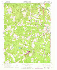
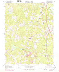
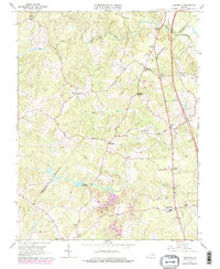
Editions of this 1966 Ladysmith Map
4 editions found
Other maps of this area

1887 · Spottsylvania
USGS Topo · 1:125,000

1889 · Fredericksburg
USGS Topo · 1:125,000

1890 · Goochland
USGS Topo · 1:125,000

1892 · Fredericksburg
USGS Topo · 1:125,000

1892 · Spottsylvania
USGS Topo · 1:125,000

1892 · Goochland
USGS Topo · 1:125,000

1894 · Fredericksburg
USGS Topo · 1:125,000

1918 · Doswell
USGS Topo · 1:62,500

1942 · Woodford
USGS Topo · 1:31,680

1942 · Guinea
USGS Topo · 1:31,680