
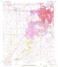
1955 Map of Lafayette
USGS Topo · Published 1956About this map
Lafayette sits at a crossroads of industry and education in the mid-1950s, centered on the SW Louisiana Institute and the Southern Pacific rail line. The city's residential growth is evident through numerous parochial and public institutions, including St Genevieve Sch and St Marys Orphanage. To the southeast, the Vermilion River snakes through the landscape, bordered by several family and parish burial grounds such as Whittington Cem and Cobb Cem.
Find a feature on this map
62 named features on this map. Tap any name to fly to it.
Don’t see what you’re looking for? This feature index may not catch every label — zoom into the map to look around manually.
Map Details
Editions of this 1955 Lafayette Map
3 editions found
Other maps of this area

1934 · Duson
USGS Topo · 1:31,680

1939 · St. Martinsville
USGS Topo · 1:62,500

1940 · Arnaudville
USGS Topo · 1:62,500

1946 · Milton
USGS Topo · 1:31,680

1946 · Leroy
USGS Topo · 1:31,680

1946 · Lafayette
USGS Topo · 1:31,680

1952 · Lake Charles
USGS Topo · 1:250,000

1954 · Lafayette
USGS Topo · 1:31,680

1954 · Duson
USGS Topo · 1:31,680
1954 · Leroy
USGS Topo · 1:31,680