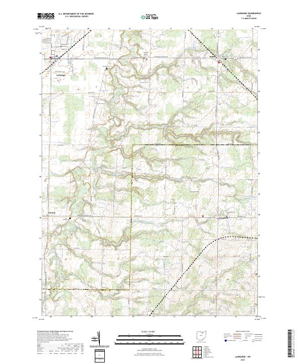
2023 Map of Lagrange
USGS Topo · Published 2023About this map
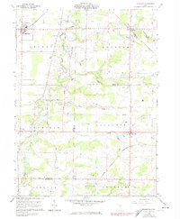
The village of LaGrange anchors the northwestern corner of this Lorain County landscape, where the East Branch Black River winds through a network of rural townships. The area is defined by its small crossroads settlements and agricultural grid, with the Lorain Co and Medina Co boundary line cutting across the southern half. Several family-named and local burial grounds, including the Nichols Aldrich Cem and Knowles Cem, offer significant points of interest for genealogists tracing early residents of LaGrange and Penfield Townships. Water features like Eppley Pond and Salt Creek provide local landmarks within the rolling terrain. Smaller hamlets such as Belden, Penfield, and Litchfield are clearly mapped, showing their persistence as rural hubs connected by a dense system of county and township roads like Avon Belden Rd and Lagrange Belden Rd.
Find a feature on this map
73 named features on this map. Tap any name to fly to it.
Don’t see what you’re looking for? This feature index may not catch every label — zoom into the map to look around manually.
Map Details
Editions of this 2023 Lagrange Map
This is the sole edition of this map. No revisions or reprints were ever made.
Historical Maps of Penfield Township Through Time
13 maps found
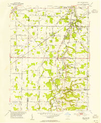
1953 West View
Lorain County, OH
1959 Vermilion East
Lorain County, OH
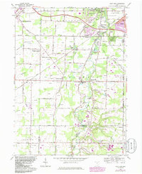
1960 Brighton
Lorain County, OH
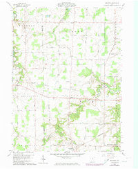
1960 Lagrange
Lorain County, OH
1963 West View
Lorain County, OH
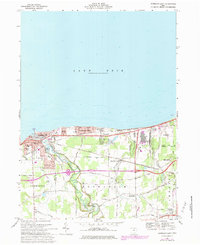
1969 Vermilion East
Lorain County, OH
1986 Put-In-Bay
Lorain County, OH
1994 West View
Lorain County, OH
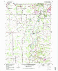
2023 Avon OE N
Lorain County, OH
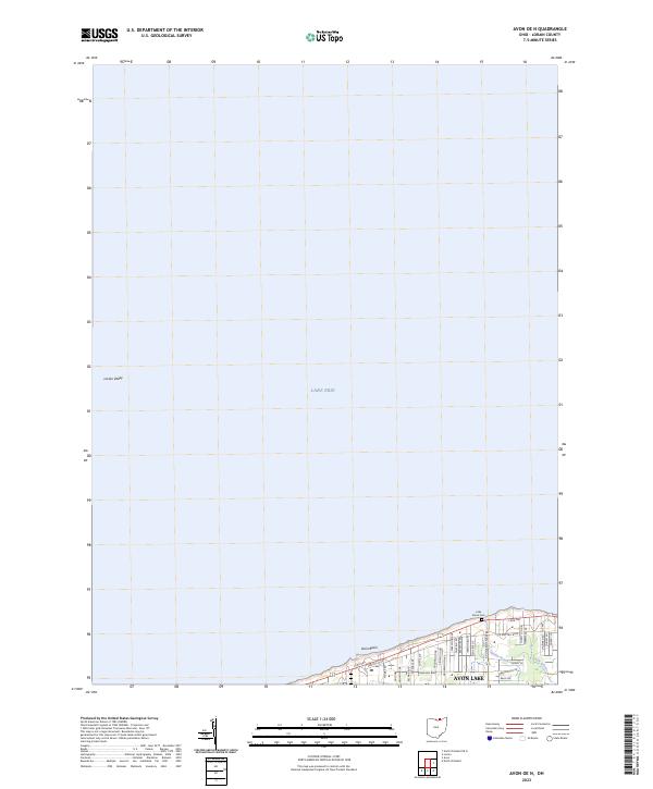
2023 Brighton
Lorain County, OH
2023 Lagrange
Lorain County, OH
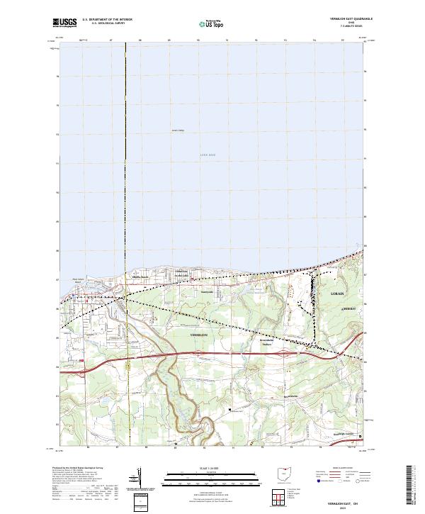
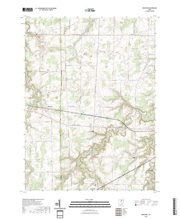
2023 Vermilion East
Lorain County, OH
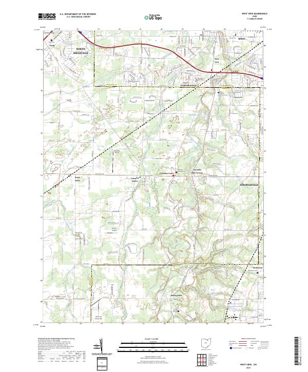
2023 West View
Lorain County, OH
Featured Locations
- LaGrange, OH
- LaGrange Township, OH
- Litchfield Township, OH
- Litchfield, Litchfield Township
- Penfield, Penfield Township