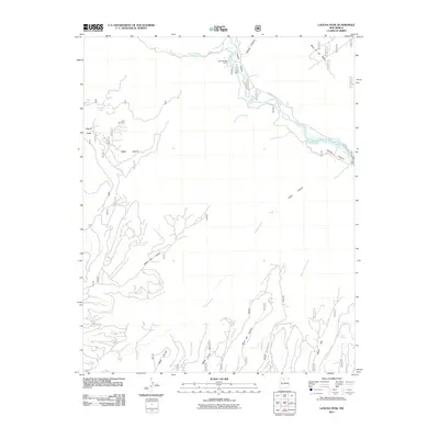
2011 Map of Laguna Peak
USGS Topo · Published 2011About this map
Rio Chama and Rio Gallina carve through the high plateaus of Rio Arriba County, defining a landscape of deep canyons and expansive mesas. This 2011 survey captures the area's complex topography, from the heights of Laguna Peak and Mesa Laguna to the drainage of Chama Canyon. While human habitation is sparse, the map documents localized activity at the Gallina Bench Ranch and the presence of the Wild Blue Mine on the slopes below Mesa Laguna.
Find a feature on this map
27 named features on this map. Tap any name to fly to it.
Don’t see what you’re looking for? This feature index may not catch every label — zoom into the map to look around manually.
Map Details
Editions of this 2011 Laguna Peak Map
This is the sole edition of this map. No revisions or reprints were ever made.
Other maps of this area

1909 · Gallina
USGS Topo · 1:125,000

1940 · Cuba
USGS Topo · 1:62,500

1943 · Cuba
USGS Topo · 1:62,500

1953 · Alire
USGS Topo · 1:24,000

1953 · Echo Ampitheater
USGS Topo · 1:24,000

1953 · Arroyo Del Agua
USGS Topo · 1:24,000

1953 · Laguna Peak
USGS Topo · 1:24,000

1953 · Navajo Peak
USGS Topo · 1:24,000

1953 · Youngsville
USGS Topo · 1:24,000
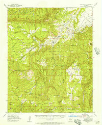
1953 · Youngsville
USGS Topo · 1:62,500