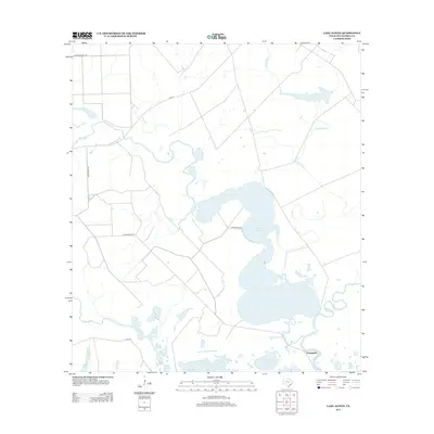
2013 Map of Lake Austin
USGS Topo · Published 2013About this map
Lake Austin and its surrounding wetlands dominate this coastal Matagorda County landscape, where the flat Texas coastal plain meets a complex network of bayous and ponds. The small settlement of Chinquapin sits at the southern edge of the sheet, positioned near the confluence of Chinquapin Bayou and Live Oak Bayou. This area is defined by its low-lying hydrology, featuring numerous isolated water bodies like Lake Kilbride, Pelton Lake, and Boggy Lake that dot the terrain between larger drainages.
Find a feature on this map
16 named features on this map. Tap any name to fly to it.
Don’t see what you’re looking for? This feature index may not catch every label — zoom into the map to look around manually.
Map Details
Editions of this 2013 Lake Austin Map
This is the sole edition of this map. No revisions or reprints were ever made.
Other maps of this area

1951 · Bay City
USGS Topo · 1:250,000

1952 · Lake Austin
USGS Topo · 1:24,000

1952 · Matagorda
USGS Topo · 1:24,000

1952 · Dressing Point
USGS Topo · 1:24,000
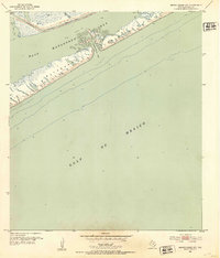
1952 · Brown Cedar Cut
USGS Topo · 1:24,000

1952 · Bay City
USGS Topo · 1:24,000

1952 · Bay City NE
USGS Topo · 1:24,000

1952 · Cedar Lane
USGS Topo · 1:24,000

1952 · Sargent
USGS Topo · 1:24,000

1952 · Wadsworth
USGS Topo · 1:24,000