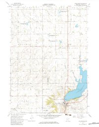
1967 Map of Lake Benton
USGS Topo · Published 1983About this map
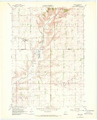
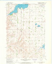
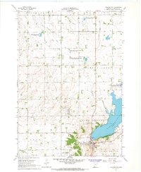
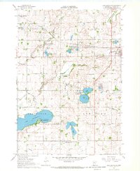
Lake Benton anchors the southeastern corner of this Lincoln County survey, serving as the focal point for the surrounding agricultural prairie. The town of Lake Benton is a well-established hub of activity, featuring the High Sch, Memorial Cemetery, and a nearby Indian Mound overlooking the water. Transportation through the region is defined by the Chicago and North Western railroad, which skirts the southern shoreline of the lake and connects the smaller settlements of Medary and Verdi to the west.
Find a feature on this map
30 named features on this map. Tap any name to fly to it.
Don’t see what you’re looking for? This feature index may not catch every label — zoom into the map to look around manually.
Map Details
Editions of this 1967 Lake Benton Map
2 editions found
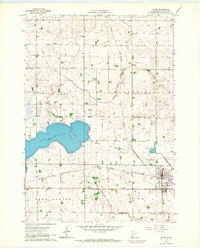
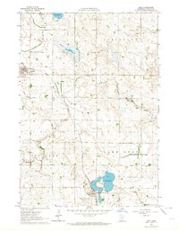
Other maps of this area

1953 · Watertown
USGS Topo · 1:250,000

1958 · Watertown
USGS Topo · 1:250,000
1963 · Tyler
USGS Topo · 1:24,000
1963 · Arco
USGS Topo · 1:24,000
1967 · Ruthton NW
USGS Topo · 1:24,000
1967 · Verdi
USGS Topo · 1:24,000
1967 · Lake Benton NW
USGS Topo · 1:24,000
1967 · Lake Benton
USGS Topo · 1:24,000
1967 · Lake Benton SW
USGS Topo · 1:24,000
1967 · Lake Benton NE
USGS Topo · 1:24,000