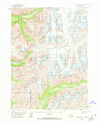
1958 Map of Lake Clark A-2
USGS Topo · Published 1972About this map
Kenai Peninsula Borough is defined by its dramatic glacial terrain and high-altitude drainage systems in this mid-century survey. The landscape is dominated by the Pile River valley and its surrounding tributaries, including Brooks Creek and South Currant Creek. In the higher elevations, the map specifically identifies areas of Crevasses, marking the active glacial presence that continues to shape the interior. Gladiator Basin sits as a distinct geographical feature among the peaks. This 1:63,360 scale study, derived from 1957 aerial photography, captures the wilderness before significant modern infrastructure reached these remote reaches of the peninsula, showing a land mapped by hydrology and elevation rather than roads.
Find a feature on this map
7 named features on this map. Tap any name to fly to it.
Don’t see what you’re looking for? This feature index may not catch every label — zoom into the map to look around manually.
Map Details
Editions of this 1958 Lake Clark A-2 Map
2 editions found
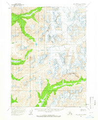
Other maps of this area

1946 · Lake Clark
USGS Topo · 1:250,000

1951 · Lake Clark
USGS Topo · 1:250,000

1952 · Iliamna
USGS Topo · 1:250,000

1954 · Lake Clark A-3
USGS Topo · 1:63,360

1954 · Iliamna D-3
USGS Topo · 1:63,360

1954 · Lake Clark B-3
USGS Topo · 1:63,360

1957 · Iliamna
USGS Topo · 1:250,000

1958 · Iliamna D-2
USGS Topo · 1:63,360

1958 · Iliamna D-1
USGS Topo · 1:63,360

1958 · Lake Clark A-1
USGS Topo · 1:63,360