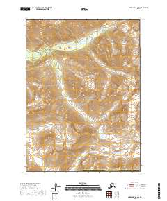
2018 Map of Lake Clark A-2 NW
USGS Topo · Published 2018About this map
Lake Clark National Park encompasses nearly the entirety of this topographic study, revealing the high-altitude drainage systems of the Chigmit Mountains. The terrain is defined by extreme relief and glacial features, notably the broad Gladiator Basin in the western half of the quadrangle. Water distribution is dominated by the headwaters of South Currant Creek and its tributary, S Currant Cr, which carve through steep elevation contours. As a 2018 survey, this map documents the modern boundaries of the Lake and Peninsula Borough in a region devoid of developed roads or permanent settlements, emphasizing the preserved wilderness character of the Alaska Peninsula's interior peaks.
Find a feature on this map
12 named features on this map. Tap any name to fly to it.
Don’t see what you’re looking for? This feature index may not catch every label — zoom into the map to look around manually.
Map Details
Editions of this 2018 Lake Clark A-2 NW Map
This is the sole edition of this map. No revisions or reprints were ever made.
Other maps of this area

1946 · Lake Clark
USGS Topo · 1:250,000

1951 · Lake Clark
USGS Topo · 1:250,000

1954 · Lake Clark A-3
USGS Topo · 1:63,360

1954 · Lake Clark B-3
USGS Topo · 1:63,360
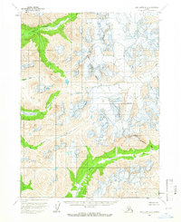
1958 · Lake Clark A-2
USGS Topo · 1:63,360
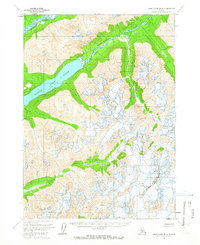
1958 · Lake Clark B-2
USGS Topo · 1:63,360

1958 · Lake Clark
USGS Topo · 1:250,000
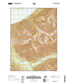
2018 · Lake Clark B-3 SE
USGS Topo · 1:25,000
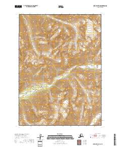
2018 · Lake Clark B-2 SW
USGS Topo · 1:25,000
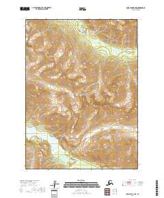
2018 · Lake Clark A-3 NE
USGS Topo · 1:25,000