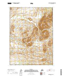
2019 Map of Lake Clark B-7 SW
USGS Topo · Published 2019About this map
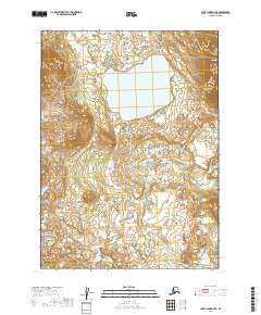
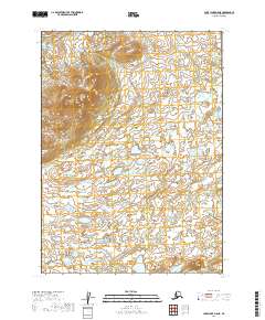
Upland terrain and intricate glacial hydrology dominate this interior Alaskan landscape within the Lake and Peninsula Borough. The topographic detail highlights a transition between high ridges and low-lying wetlands, particularly evident across the boundaries of T3n R37w and T3n R36w. The lack of named settlements or infrastructure underscores the remote character of this region, where natural features define the landscape without human development. Small lakes and seasonal ponds are scattered throughout the lower elevations, notably near the intersection of T2n R37w and T2n R36w. This 2019 survey provides a precise look at the elevation contours and water distribution in a portion of the Lake Clark region that remains largely untouched by modern road networks or industry.
Find a feature on this map
4 named features on this map. Tap any name to fly to it.
Don’t see what you’re looking for? This feature index may not catch every label — zoom into the map to look around manually.
Map Details
Editions of this 2019 Lake Clark B-7 SW Map
This is the sole edition of this map. No revisions or reprints were ever made.
Other maps of this area

1946 · Lake Clark
USGS Topo · 1:250,000

1951 · Lake Clark
USGS Topo · 1:250,000

1954 · Lake Clark A-7
USGS Topo · 1:63,360

1954 · Lake Clark A-8
USGS Topo · 1:63,360
1954 · Lake Clark B-8
USGS Topo · 1:63,360
1954 · Lake Clark B-7
USGS Topo · 1:63,360

1958 · Lake Clark
USGS Topo · 1:250,000
2019 · Lake Clark B-8 SE
USGS Topo · 1:25,000
2019 · Lake Clark B-7 SE
USGS Topo · 1:25,000
2019 · Lake Clark A-8 NE
USGS Topo · 1:25,000