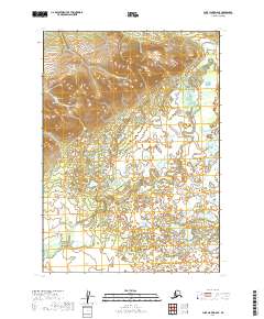
2019 Map of Lake Clark D-6 SE
USGS Topo · Published 2019About this map
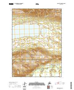
Mulchatna River meanders across the southern and eastern reaches of this landscape in the Lake and Peninsula Borough. The terrain is defined by a significant contrast between the high, ridged interior of t9n r32w and the expansive, water-dominated lowlands to the south. In the northwestern corner, Gnat Cr drains the steep slopes of the northern hills. The southern half of the quadrangle is characterized by an intricate network of wetlands and small ponds, including Half Cabin Lake, which sits tucked into the eastern edge of the survey area. This 2019 survey documents a largely roadless wilderness area, highlighting the natural drainage patterns and topographical boundaries of the interior Alaska Peninsula before any significant human development occurred in this specific quadrant.
Find a feature on this map
7 named features on this map. Tap any name to fly to it.
Don’t see what you’re looking for? This feature index may not catch every label — zoom into the map to look around manually.
Map Details
Editions of this 2019 Lake Clark D-6 SE Map
This is the sole edition of this map. No revisions or reprints were ever made.
Other maps of this area

1946 · Lake Clark
USGS Topo · 1:250,000

1951 · Lake Clark
USGS Topo · 1:250,000

1954 · Lake Clark C-6
USGS Topo · 1:63,360

1954 · Lake Clark D-5
USGS Topo · 1:63,360

1954 · Lake Clark C-5
USGS Topo · 1:63,360
1954 · Lake Clark D-6
USGS Topo · 1:63,360

1958 · Lake Clark
USGS Topo · 1:250,000
2018 · Lake Clark C-5 NW
USGS Topo · 1:25,000
2018 · Lake Clark D-5 SW
USGS Topo · 1:25,000
2018 · Lake Clark D-5 NW
USGS Topo · 1:25,000