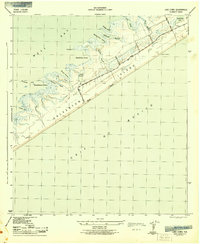
1943 Map of Lake Como
USGS Topo · Published 1943About this map
Galveston Island is documented here during the mid-war years, showcasing a transition from the Gulf-facing West Beach to the intricate, marshy estuaries of West Bay. The landscape is defined by a series of long, finger-like bayous such as Eckert Bayou, Gangs Bayou, and Oak Bayou that carve into the land, creating isolated points and sheltered waters like Starvation Cove and Melager Cove.
Find a feature on this map
26 named features on this map. Tap any name to fly to it.
Don’t see what you’re looking for? This feature index may not catch every label — zoom into the map to look around manually.
Map Details
Editions of this 1943 Lake Como Map
2 editions found
Other maps of this area

1929 · Karankawa Lake
USGS Topo · 1:24,000

1929 · Hitchcock
USGS Topo · 1:24,000

1929 · Virginia Point
USGS Topo · 1:24,000

1930 · Galveston
USGS Topo · 1:24,000

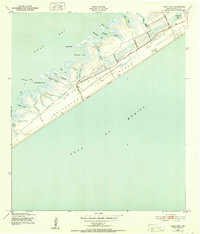
1931 · Lake Como
USGS Topo · 1:24,000

1932 · Hitchcock
USGS Topo · 1:31,680

1932 · Virginia Point
USGS Topo · 1:31,680

1933 · Karankawa Lake
USGS Topo · 1:31,680

1933 · San Luis Pass
USGS Topo · 1:31,680
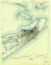
1933 · Galveston
USGS Topo · 1:31,680