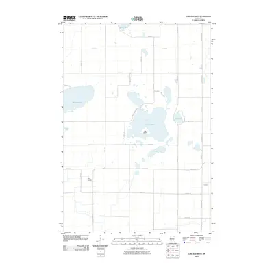
2010 Map of Lake Elizabeth
USGS Topo · Published 2010About this map
Lake Elizabeth dominates this landscape in Kandiyohi County, a significant water body featuring the centrally located Big Island. The surrounding terrain is defined by a series of smaller basins, including Summit Lake to the north and Mennetaga Lake to the west, separated by a grid of rural routes such as County Hwy 4 and Kandi Meeker Rd. This network of roads reveals a structured agricultural layout typical of the Minnesota prairie-pothole region.
Find a feature on this map
31 named features on this map. Tap any name to fly to it.
Don’t see what you’re looking for? This feature index may not catch every label — zoom into the map to look around manually.
Map Details
Editions of this 2010 Lake Elizabeth Map
This is the sole edition of this map. No revisions or reprints were ever made.
Other maps of this area

1953 · New Ulm
USGS Topo · 1:250,000

1953 · Saint Cloud
USGS Topo · 1:250,000

1956 · Atwater
USGS Topo · 1:62,500

1957 · Saint Cloud
USGS Topo · 1:250,000

1957 · New Ulm
USGS Topo · 1:250,000

1957 · Olivia
USGS Topo · 1:62,500

1958 · New Ulm
USGS Topo · 1:250,000

1958 · Saint Cloud
USGS Topo · 1:250,000

1967 · New Ulm
USGS Topo · 1:250,000

1967 · Grove City
USGS Topo · 1:24,000