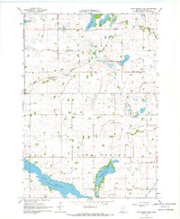
1967 Map of Lake Hanska East
USGS Topo · Published 1969About this map
Lake Hanska dominates the southern landscape of this Brown County region, its shoreline traced at a Spillway Elevation 1012. The map illustrates a highly managed agricultural environment, defined by an extensive network of drainage projects such as County Ditch No 11, County Ditch No 67, and Judicial Ditch No 10. These engineering efforts sit alongside natural water bodies like Omsrud Lake and the winding Little Cottonwood River.
Find a feature on this map
21 named features on this map. Tap any name to fly to it.
Don’t see what you’re looking for? This feature index may not catch every label — zoom into the map to look around manually.
Map Details
Editions of this 1967 Lake Hanska East Map
2 editions found
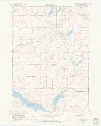
Other maps of this area

1953 · New Ulm
USGS Topo · 1:250,000

1957 · New Ulm
USGS Topo · 1:250,000

1958 · New Ulm
USGS Topo · 1:250,000

1964 · New Ulm
USGS Topo · 1:24,000

1964 · Sleepy Eye
USGS Topo · 1:24,000

1964 · Essig
USGS Topo · 1:24,000

1965 · Madelia
USGS Topo · 1:24,000

1965 · Hanska
USGS Topo · 1:24,000

1967 · New Ulm
USGS Topo · 1:250,000

1967 · Lake Hanska West
USGS Topo · 1:24,000