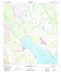
1953 Map of Lake Hatchineha
USGS Topo · Published 1987About this map
Lake Hatchineha dominates the center of this landscape, its waters straddling the boundary between Polk and Osceola counties. This 1950s survey, updated with revisions through the mid-1980s, reveals a terrain defined by wet prairies and large islands rising from the marshes. Johnson Island and London Island stand as prominent features within the wetland network, while Reedy Creek and Catfish Creek feed the system from the north and south. Human presence is concentrated at Lyle Camp on the western shore of the lake. The inclusion of a Landing Strip and a Gaging Station highlights the period's focus on both accessibility and water management. To the west, the winding paths of Lake Marion Creek and the isolated Deer Lake illustrate the complex hydrology of this Central Florida basin before extensive modern development.
Find a feature on this map
13 named features on this map. Tap any name to fly to it.
Don’t see what you’re looking for? This feature index may not catch every label — zoom into the map to look around manually.
Map Details
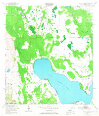
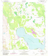
Editions of this 1953 Lake Hatchineha Map
4 editions found
Other maps of this area

1952 · Lake Wales
USGS Topo · 1:24,000

1952 · Lake Weohyakapka NE
USGS Topo · 1:24,000

1952 · Hesperides
USGS Topo · 1:24,000

1953 · Cypress Lake
USGS Topo · 1:24,000

1953 · Dundee
USGS Topo · 1:24,000

1953 · Lake Hatchineha
USGS Topo · 1:24,000

1953 · St Cloud South
USGS Topo · 1:24,000

1953 · Lake Tohopekaliga
USGS Topo · 1:24,000

1953 · Davenport
USGS Topo · 1:24,000

1955 · Orlando
USGS Topo · 1:250,000