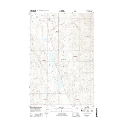
2014 Map of Lake Inez
USGS Topo · Published 2014About this map
Lake Inez and Lake Alva anchor this montane landscape in Missoula County, where the Clearwater River connects a chain of glacial waters. The map reveals a complex interface between the Flathead National Forest and the Lolo National Forest, with the high peaks of the Swan Range defining the eastern horizon. Timber and forest management history is etched into the terrain through a network of specialized access routes like Old Richmond Rd, Colt Creek Rd, and the Clearwater Lake Loop Rd. Smaller water bodies, including Rainy Lake and Marshall Lake, are fed by mountain drainages such as Colt Cr and Richmond Cr. The area is characterized by its high-elevation geography, reaching its peak at Richmond Peak near the eastern boundary, and maintaining isolated points like Summit Springs and Bertha Cr.
Find a feature on this map
42 named features on this map. Tap any name to fly to it.
Don’t see what you’re looking for? This feature index may not catch every label — zoom into the map to look around manually.
Map Details
Editions of this 2014 Lake Inez Map
This is the sole edition of this map. No revisions or reprints were ever made.
Other maps of this area

1902 · Ovando
USGS Topo · 1:125,000

1905 · Ovando
USGS Topo · 1:125,000

1921 · Elbow Lake
USGS Topo · 1:125,000

1955 · Choteau
USGS Topo · 1:250,000

1957 · Choteau
USGS Topo · 1:250,000

1958 · Choteau
USGS Topo · 1:250,000

1962 · Choteau
USGS Topo · 1:250,000

1965 · Upper Jocko Lake
USGS Topo · 1:24,000

1965 · Holland Lake
USGS Topo · 1:24,000

1965 · Seeley Lake West
USGS Topo · 1:24,000