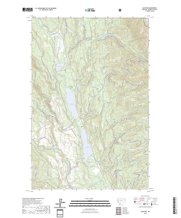
2024 Map of Lake Inez
USGS Topo · Published 2024About this map
Lake Inez and Lake Alva anchor a glaciated landscape within the Lolo National Forest, where the Clearwater River system connects a chain of high-altitude basins. This modern topographic record shows a complex network of forest access and recreation paths, including the Rice Ridge Trl and Inez Ridge Trl, which navigate the steep elevations of the Swan Range. The northeastern corner of the map reaches into the protected Bob Marshall Wilderness, contrasting with the more accessible valley floor.
Find a feature on this map
60 named features on this map. Tap any name to fly to it.
Don’t see what you’re looking for? This feature index may not catch every label — zoom into the map to look around manually.
Map Details
Editions of this 2024 Lake Inez Map
This is the sole edition of this map. No revisions or reprints were ever made.
Other maps of this area

1902 · Ovando
USGS Topo · 1:125,000

1905 · Ovando
USGS Topo · 1:125,000

1921 · Elbow Lake
USGS Topo · 1:125,000

1955 · Choteau
USGS Topo · 1:250,000

1957 · Choteau
USGS Topo · 1:250,000

1958 · Choteau
USGS Topo · 1:250,000

1962 · Choteau
USGS Topo · 1:250,000

1965 · Upper Jocko Lake
USGS Topo · 1:24,000

1965 · Holland Lake
USGS Topo · 1:24,000

1965 · Seeley Lake West
USGS Topo · 1:24,000