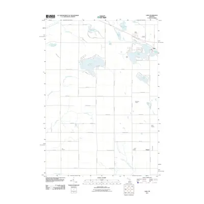
2011 Map of Lake
USGS Topo · Published 2011About this map
Eight Point Lake and the surrounding woodlands define this portion of central Michigan, where water and recreation dominate the landscape. The settlement of Lake serves as a local hub near Perch Lake, featuring the Lake Post Office and Camp Neyati. This area is characterized by a high concentration of small lakes and winding creeks, including Mystic Lake, Gray Lake, and Tubs Lake, which feed into the Chippewa River system.
Find a feature on this map
80 named features on this map. Tap any name to fly to it.
Don’t see what you’re looking for? This feature index may not catch every label — zoom into the map to look around manually.
Map Details
Editions of this 2011 Lake Map
This is the sole edition of this map. No revisions or reprints were ever made.
Other maps of this area

1916 · Mount Pleasant
USGS Topo · 1:62,500

1919 · Mount Pleasant
USGS Topo · 1:62,500

1943 · Mount Pleasant
USGS Topo · 1:62,500

1954 · Midland
USGS Topo · 1:250,000

1958 · Midland
USGS Topo · 1:250,000

1959 · Midland
USGS Topo · 1:250,000

1959 · Lake
USGS Topo · 1:62,500

1959 · Clare
USGS Topo · 1:62,500

1964 · Mecosta NW
USGS Topo · 1:24,000

1964 · Sherman City
USGS Topo · 1:24,000