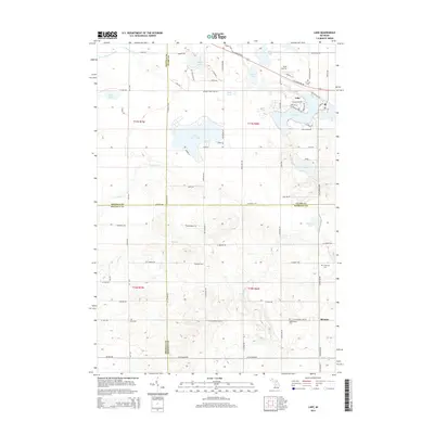
2014 Map of Lake
USGS Topo · Published 2014About this map
The settlement of Lake serves as a focal point in this portion of Garfield Township, where several large water bodies such as Eight Point Lake and Crooked Lake define the central landscape. The surrounding area is characterized by a high density of small lakes including Mystic Lake, Muir Lake, and Bass Lake, which are interconnected by a network of drainage features like Benjamin Cr and Delaney Cr. This 2014 survey reveals a transition from these recreational and residential lakeside clusters to the agricultural and wooded plots of the southern township toward Brinton.
Find a feature on this map
83 named features on this map. Tap any name to fly to it.
Don’t see what you’re looking for? This feature index may not catch every label — zoom into the map to look around manually.
Map Details
Editions of this 2014 Lake Map
This is the sole edition of this map. No revisions or reprints were ever made.
Other maps of this area

1916 · Mount Pleasant
USGS Topo · 1:62,500

1919 · Mount Pleasant
USGS Topo · 1:62,500

1943 · Mount Pleasant
USGS Topo · 1:62,500

1954 · Midland
USGS Topo · 1:250,000

1958 · Midland
USGS Topo · 1:250,000

1959 · Midland
USGS Topo · 1:250,000

1959 · Lake
USGS Topo · 1:62,500

1959 · Clare
USGS Topo · 1:62,500

1964 · Mecosta NW
USGS Topo · 1:24,000

1964 · Sherman City
USGS Topo · 1:24,000