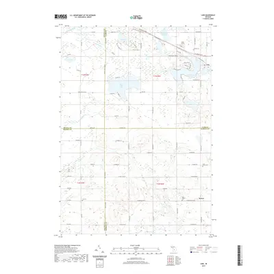
2019 Map of Lake
USGS Topo · Published 2019About this map
The Pere Marquette State Trail cuts through the northern portion of this landscape, following the path of a historic rail corridor through Clare and Osceola counties. The area is defined by a high density of kettle lakes and wetlands, including the prominent Eight Point Lake, Bass Lake, and the aptly named Big Cranberry Lake. These water bodies are connected by a network of small creeks like Boyles Creek and Atkinson Cr, illustrating the glacial topography of central Michigan.
Find a feature on this map
85 named features on this map. Tap any name to fly to it.
Don’t see what you’re looking for? This feature index may not catch every label — zoom into the map to look around manually.
Map Details
Editions of this 2019 Lake Map
This is the sole edition of this map. No revisions or reprints were ever made.
Other maps of this area

1916 · Mount Pleasant
USGS Topo · 1:62,500

1919 · Mount Pleasant
USGS Topo · 1:62,500

1943 · Mount Pleasant
USGS Topo · 1:62,500

1954 · Midland
USGS Topo · 1:250,000

1958 · Midland
USGS Topo · 1:250,000

1959 · Midland
USGS Topo · 1:250,000

1959 · Lake
USGS Topo · 1:62,500

1959 · Clare
USGS Topo · 1:62,500

1964 · Mecosta NW
USGS Topo · 1:24,000

1964 · Sherman City
USGS Topo · 1:24,000