
1953 Map of Lake Joy
USGS Topo · Published 1955About this map
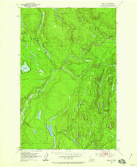
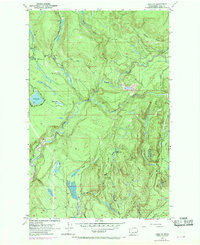
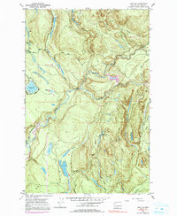
Tolt River drainage systems define the landscape of this 1950s survey, showing a transition from early industrial logging to a network of rural access roads. The western half of the sheet is dominated by Lake Joy and Moss Lake, with the surrounding timberlands accessed via the Tolt Truck Trail and Stossel Road. A Mill is located near the Harris Swan water body, indicating active local processing of timber during this era.
Find a feature on this map
28 named features on this map. Tap any name to fly to it.
Don’t see what you’re looking for? This feature index may not catch every label — zoom into the map to look around manually.
Map Details
Editions of this 1953 Lake Joy Map
4 editions found
Other maps of this area

1921 · Sultan
USGS Topo · 1:125,000

1923 · Sultan
USGS Topo · 1:125,000

1953 · Snoqualmie
USGS Topo · 1:24,000

1953 · Sultan
USGS Topo · 1:24,000

1953 · Monroe
USGS Topo · 1:24,000

1953 · Fall City
USGS Topo · 1:24,000

1953 · Carnation
USGS Topo · 1:24,000

1956 · Monroe
USGS Topo · 1:62,500

1957 · Index
USGS Topo · 1:62,500

1957 · Wenatchee
USGS Topo · 1:250,000