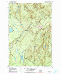
1953 Map of Lake Joy
USGS Topo · Published 1991About this map
The Tolt River and its various forks dominate this 1953 landscape in King County, illustrating a period of active timber management and early watershed infrastructure. The terrain is marked by the Tolt Truck Road and an Old Railroad Grade, tracing the paths of earlier industrial access into the highlands. Several small water bodies, including Lake Joy, Moss Lake, and Hull Lake, are primary landmarks amidst a network of drainage systems like Harris Creek and Griffin Creek. Evidence of local industry and infrastructure is visible through a noted Mill near Stossel Road and multiple Gravel Pits. The map also captures the Pipeline corridor and various gaging stations, reflecting the region's importance for water resource management for the growing Puget Sound area during the mid-20th century.
Find a feature on this map
29 named features on this map. Tap any name to fly to it.
Don’t see what you’re looking for? This feature index may not catch every label — zoom into the map to look around manually.
Map Details
Editions of this 1953 Lake Joy Map
4 editions found
Other maps of this area

1921 · Sultan
USGS Topo · 1:125,000

1923 · Sultan
USGS Topo · 1:125,000

1953 · Snoqualmie
USGS Topo · 1:24,000

1953 · Sultan
USGS Topo · 1:24,000

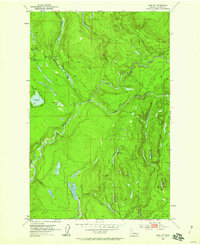
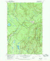
1953 · Lake Joy
USGS Topo · 1:24,000

1953 · Monroe
USGS Topo · 1:24,000

1953 · Fall City
USGS Topo · 1:24,000

1953 · Carnation
USGS Topo · 1:24,000

1956 · Monroe
USGS Topo · 1:62,500

1957 · Index
USGS Topo · 1:62,500