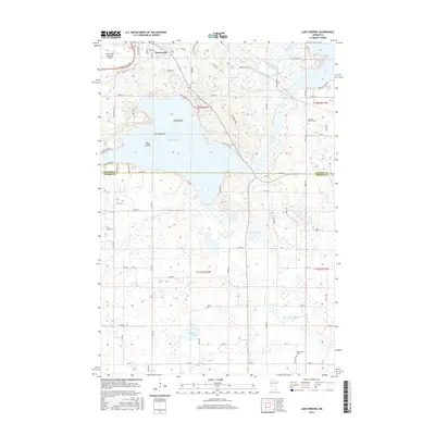
2016 Map of Lake Koronis
USGS Topo · Published 2016About this map
Paynesville sits at the northern edge of this landscape, serving as a gateway to the extensive waters of Lake Koronis and its distinct island features, First Island, Second Island, and Third Island. The map records a transition from the structured residential and commercial grid of the town to the complex glacial hydrology of the surrounding countryside. The North Fork Crow River meanders through the terrain, connecting a series of smaller water bodies including Mud Lake, Krueger Lake, and West Lake.
Find a feature on this map
50 named features on this map. Tap any name to fly to it.
Don’t see what you’re looking for? This feature index may not catch every label — zoom into the map to look around manually.
Map Details
Editions of this 2016 Lake Koronis Map
This is the sole edition of this map. No revisions or reprints were ever made.
Other maps of this area

1953 · Saint Cloud
USGS Topo · 1:250,000

1956 · Atwater
USGS Topo · 1:62,500

1957 · Saint Cloud
USGS Topo · 1:250,000

1958 · Saint Cloud
USGS Topo · 1:250,000

1967 · Grove City
USGS Topo · 1:24,000

1967 · Paynesville
USGS Topo · 1:24,000

1967 · Litchfield North
USGS Topo · 1:24,000

1967 · Lake Koronis
USGS Topo · 1:24,000

1967 · Richmond
USGS Topo · 1:24,000

1967 · Hawick
USGS Topo · 1:24,000