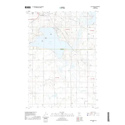
2019 Map of Lake Koronis
USGS Topo · Published 2019About this map
Paynesville sits at the northern edge of this 2019 survey, serving as a gateway to the intricate water systems of the N Fork Crow River valley. The landscape is dominated by the sprawling waters of Lake Koronis, which features a distinctive chain of landforms known as First Island, Second Island, and Third Island. These features, along with surrounding bodies like Rice Lake and Whitney Lake, illustrate the glacial topography that defines this portion of the Stearns Co and Meeker Co border. Genealogists and local historians can locate long-standing landmarks such as Ebenezer Church Cem to the east and Manannah Cem in the southern reaches of the quadrangle. The infrastructure around the Paynesville Municipal Airport and the development of local routes like Old HWY 23 and Lake Koronis RD highlight the intersection of mid-century transport and recreational geography.
Find a feature on this map
83 named features on this map. Tap any name to fly to it.
Don’t see what you’re looking for? This feature index may not catch every label — zoom into the map to look around manually.
Map Details
Editions of this 2019 Lake Koronis Map
This is the sole edition of this map. No revisions or reprints were ever made.
Other maps of this area

1953 · Saint Cloud
USGS Topo · 1:250,000

1956 · Atwater
USGS Topo · 1:62,500

1957 · Saint Cloud
USGS Topo · 1:250,000

1958 · Saint Cloud
USGS Topo · 1:250,000

1967 · Grove City
USGS Topo · 1:24,000

1967 · Paynesville
USGS Topo · 1:24,000

1967 · Litchfield North
USGS Topo · 1:24,000

1967 · Lake Koronis
USGS Topo · 1:24,000

1967 · Richmond
USGS Topo · 1:24,000

1967 · Hawick
USGS Topo · 1:24,000