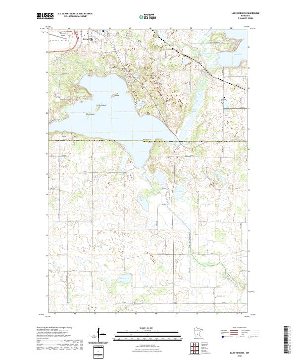
2022 Map of Lake Koronis
USGS Topo · Published 2022About this map
Lake Koronis and its distinct chain of islands—First Island, Second Island, and Third Island—anchor this landscape at the intersection of Stearns and Meeker counties. The city of Paynesville sits at the northern edge, served by the Paynesville Byp and the Paynesville Municipal Airport. The terrain transitions into the Bonanza Valley to the northwest, while the N Fork Crow River meanders through the eastern wetlands, connecting several smaller water bodies like Mud Lake and Pigeon Lake.
Find a feature on this map
54 named features on this map. Tap any name to fly to it.
Don’t see what you’re looking for? This feature index may not catch every label — zoom into the map to look around manually.
Map Details
Editions of this 2022 Lake Koronis Map
This is the sole edition of this map. No revisions or reprints were ever made.
Other maps of this area

1953 · Saint Cloud
USGS Topo · 1:250,000

1956 · Atwater
USGS Topo · 1:62,500

1957 · Saint Cloud
USGS Topo · 1:250,000

1958 · Saint Cloud
USGS Topo · 1:250,000

1967 · Grove City
USGS Topo · 1:24,000

1967 · Paynesville
USGS Topo · 1:24,000

1967 · Litchfield North
USGS Topo · 1:24,000

1967 · Lake Koronis
USGS Topo · 1:24,000

1967 · Richmond
USGS Topo · 1:24,000

1967 · Hawick
USGS Topo · 1:24,000