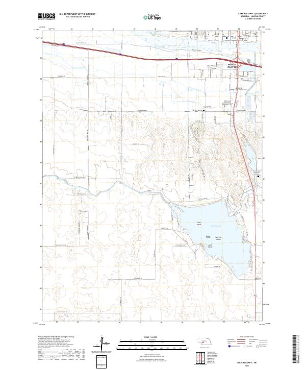
2021 Map of Lake Maloney
USGS Topo · Published 2021About this map
Lake Maloney dominates the southern landscape of this Lincoln County survey, serving as a primary hydrological and recreational center just south of North Platte. The water system is intricately detailed, showing the South Platte River and its associated backwaters like Beer Slough and Fremont Slough, which are linked by an extensive network of man-made waterways including the Outlet Canal. These features illustrate the managed water environment of the Nebraska plains, where the flow of the river is diverted and channeled for local utility.
Find a feature on this map
91 named features on this map. Tap any name to fly to it.
Don’t see what you’re looking for? This feature index may not catch every label — zoom into the map to look around manually.
Map Details
Editions of this 2021 Lake Maloney Map
This is the sole edition of this map. No revisions or reprints were ever made.
Other maps of this area

1899 · North Platte
USGS Topo · 1:125,000

1902 · North Platte
USGS Topo · 1:125,000

1954 · McCook
USGS Topo · 1:250,000

1954 · North Platte
USGS Topo · 1:250,000

1956 · North Platte
USGS Topo · 1:250,000

1956 · Wellfleet NW
USGS Topo · 1:24,000

1957 · North Platte
USGS Topo · 1:250,000

1957 · McCook
USGS Topo · 1:250,000

1958 · McCook
USGS Topo · 1:250,000

1967 · North Platte
USGS Topo · 1:250,000