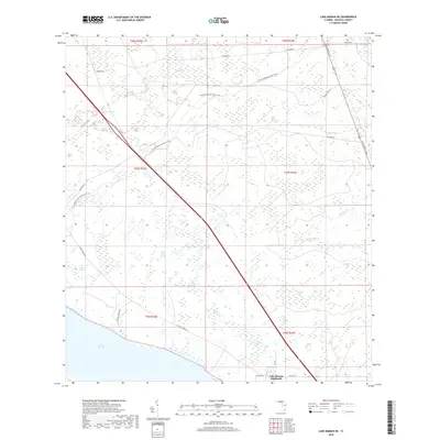
2018 Map of Lake Marian NE
USGS Topo · Published 2018About this map
Lake Marian Highlands sits at the southern edge of this Osceola County landscape, where the northern reaches of Lake Marian meet a complex network of wetlands and seasonal water bodies. The terrain is defined by a series of sloughs and ponds, including Jerdon Tyner Slough and the uniquely named Courthouse Pond. This environment supported a specialized cattle-ranching and rural economy, evidenced by the presence of Sunset Ranch Rd and several named crossings through the interior.
Find a feature on this map
33 named features on this map. Tap any name to fly to it.
Don’t see what you’re looking for? This feature index may not catch every label — zoom into the map to look around manually.
Map Details
Editions of this 2018 Lake Marian NE Map
This is the sole edition of this map. No revisions or reprints were ever made.
Other maps of this area

1953 · Lake Marian NW
USGS Topo · 1:24,000

1953 · Lake Marian SE
USGS Topo · 1:24,000

1953 · Holopaw SE
USGS Topo · 1:24,000

1953 · Kenansville SW
USGS Topo · 1:24,000

1953 · Lake Marian SW
USGS Topo · 1:24,000

1953 · Kenansville
USGS Topo · 1:24,000

1953 · Holopaw SW
USGS Topo · 1:24,000

1953 · Deer Park
USGS Topo · 1:24,000

1953 · Lake Marian NE
USGS Topo · 1:24,000

1955 · Orlando
USGS Topo · 1:250,000