
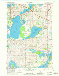
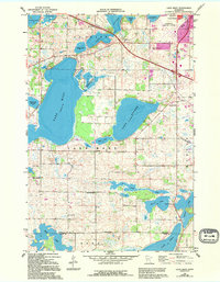
1966 Map of Lake Mary
USGS Topo · Published 1968About this map
Glacial lake basins and low-lying wetlands define the landscape of west-central Minnesota in the mid-1960s. The massive Lake Mary and adjacent Lake Andrew are central to the terrain, surrounded by a network of smaller water bodies including Turtle Lake, Long Lake, and Johnson Lake. Rural life in Lake Mary township is anchored by several localized community centers such as the Townhall and a series of district schools including Oak Grove Sch and Sunny Knoll Sch.
Find a feature on this map
33 named features on this map. Tap any name to fly to it.
Don’t see what you’re looking for? This feature index may not catch every label — zoom into the map to look around manually.
Map Details
Editions of this 1966 Lake Mary Map
3 editions found
Other maps of this area

1953 · Saint Cloud
USGS Topo · 1:250,000

1957 · Saint Cloud
USGS Topo · 1:250,000

1958 · Saint Cloud
USGS Topo · 1:250,000

1966 · Brandon
USGS Topo · 1:24,000

1966 · Alexandria West
USGS Topo · 1:24,000

1966 · Farwell
USGS Topo · 1:24,000

1966 · Alexandria East
USGS Topo · 1:24,000

1966 · Forada
USGS Topo · 1:24,000

1968 · Lowry
USGS Topo · 1:24,000

1968 · Glenwood
USGS Topo · 1:24,000