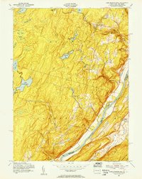
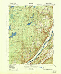
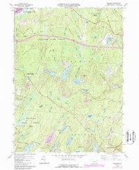
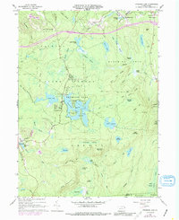
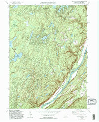
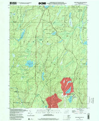
1954 Map of Lake Maskenozha
USGS Topo · Published 1955This historical map portrays the area of Lake Maskenozha in 1954, primarily covering Pike County as well as portions of New Jersey. Featuring a scale of 1:24000, this map provides a highly detailed snapshot of the terrain, roads, buildings, counties, and historical landmarks in the Lake Maskenozha region at the time. Published in 1955, it is one of 5 known editions of this map due to revisions or reprints.
Find a feature on this map
35 named features on this map. Tap any name to fly to it.
Don’t see what you’re looking for? This feature index may not catch every label — zoom into the map to look around manually.
Map Details
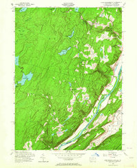
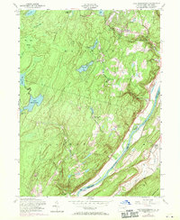
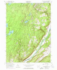
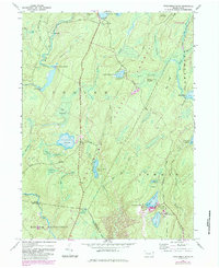
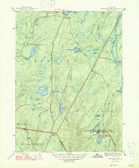
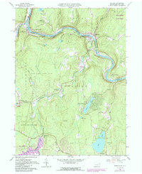
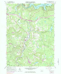
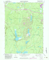
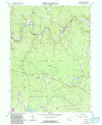
Editions of this 1954 Lake Maskenozha Map
5 editions found
Historical Maps of Ranch Lands Through Time
27 maps found

1943 Culvers Gap
Pike County, PA
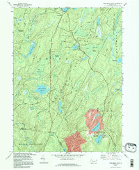
1943 Lake Maskenozha
Pike County, PA
1943 Twelvemile Pond
Pike County, PA
1947 Twelvemile Pond
Pike County, PA
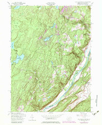
1954 Lake Maskenozha
Pike County, PA
1965 Edgemere
Pike County, PA
1965 Shohola
Pike County, PA
1966 Newfoundland
Pike County, PA
1966 Pecks Pond
Pike County, PA
1966 Promised Land
Pike County, PA
1966 Rowland
Pike County, PA
1976 Promised Land
Pike County, PA
1976 Twelvemile Pond
Pike County, PA

1992 Edgemere
Pike County, PA

1992 Newfoundland
Pike County, PA

1992 Pecks Pond
Pike County, PA
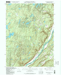
1994 Lake Maskenozha
Pike County, PA

1994 Promised Land
Pike County, PA

1994 Shohola
Pike County, PA
1994 Twelvemile Pond
Pike County, PA
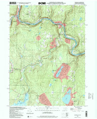
1995 Lake Maskenozha
Pike County, PA

1997 Pecks Pond
Pike County, PA

1997 Promised Land
Pike County, PA
1997 Shohola
Pike County, PA
1997 Twelvemile Pond
Pike County, PA

1999 Newfoundland
Pike County, PA
1999 Rowland
Pike County, PA
Featured Locations
- Stillwater Township, NJ
- Lehman Township, PA
- Wallpack Center, Walpack Township
- Wild Acres, Delaware Township
- Delaware, Lehman Township