
1953 Map of Lake Placid
USGS Topo · Published 1957About this map
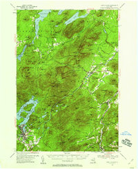
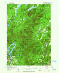
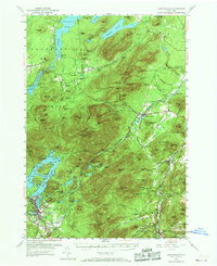
Lake Placid and its sprawling island-dotted waters anchor this mid-century look at the High Peaks region of the Adirondacks. The map details the transition from the village of Lake Placid to the surrounding wilderness, featuring landmarks like John Browns Grave and the Municipal Airport at the southern edge. The terrain is defined by the Stephenson Range and Black Brook Range, where the industrial history of the area is noted through sites such as East Kilns, Middle Kilns, and West Kilns. This era shows the developed tourist and transportation network including the Memorial Toll Road winding toward the peaks, while small rural education hubs like District Sch No 1 and Kilburn Sch still served local hamlets. The Ausable River and Saranac River dominate the drainage patterns, carving through gaps like Wilmington Notch and passing landmarks such as The Flume Fall.
Find a feature on this map
146 named features on this map. Tap any name to fly to it.
Don’t see what you’re looking for? This feature index may not catch every label — zoom into the map to look around manually.
Map Details
Editions of this 1953 Lake Placid Map
4 editions found
Other maps of this area

1894 · Elizabethtown
USGS Topo · 1:62,500

1895 · Elizabethtown
USGS Topo · 1:62,500

1895 · Mt. Marcy
USGS Topo · 1:62,500

1895 · Ausable
USGS Topo · 1:62,500

1896 · Lake Placid
USGS Topo · 1:62,500

1898 · Lake Placid
USGS Topo · 1:62,500

1901 · Elizabethtown
USGS Topo · 1:62,500

1902 · Mt. Marcy
USGS Topo · 1:62,500

1902 · Saranac
USGS Topo · 1:62,500

1903 · Ausable
USGS Topo · 1:62,500