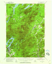
1953 Map of Lake Placid
USGS Topo · Published 1959About this map
Lake Placid and the surrounding High Peaks region are documented here during a period of significant recreational expansion in the early 1950s. The map illustrates the emerging winter sports infrastructure at the Whiteface Mtn Ski Center, complete with the Memorial Toll Road and early Whiteface Ski Trails. Cultural and historical landmarks are scattered across the valley, including the site of John Browns Grave and the themed roadside attraction of North Pole.
Find a feature on this map
148 named features on this map. Tap any name to fly to it.
Don’t see what you’re looking for? This feature index may not catch every label — zoom into the map to look around manually.
Map Details
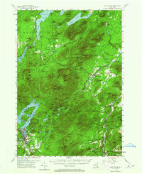
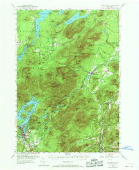
Editions of this 1953 Lake Placid Map
4 editions found

Other maps of this area

1894 · Elizabethtown
USGS Topo · 1:62,500

1895 · Elizabethtown
USGS Topo · 1:62,500

1895 · Mt. Marcy
USGS Topo · 1:62,500

1895 · Ausable
USGS Topo · 1:62,500

1896 · Lake Placid
USGS Topo · 1:62,500

1898 · Lake Placid
USGS Topo · 1:62,500

1901 · Elizabethtown
USGS Topo · 1:62,500

1902 · Mt. Marcy
USGS Topo · 1:62,500

1902 · Saranac
USGS Topo · 1:62,500

1903 · Ausable
USGS Topo · 1:62,500