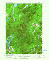
1953 Map of Lake Placid
USGS Topo · Published 1964About this map
Lake Placid and the surrounding Adirondack peaks dominate this mid-century survey, detailing a landscape defined by recreational development and high-elevation terrain. The village of Lake Placid serves as the southern anchor, with the Municipal Airport and Northwood Sch positioned near the shores of Mirror Lake. To the north, the Whiteface Mountain Memorial Highway snakes up to the summit, serving the Whiteface Mountain Ski Center and its network of Ski Trails.
Find a feature on this map
150 named features on this map. Tap any name to fly to it.
Don’t see what you’re looking for? This feature index may not catch every label — zoom into the map to look around manually.
Map Details
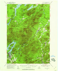
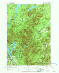
Editions of this 1953 Lake Placid Map
4 editions found

Other maps of this area

1894 · Elizabethtown
USGS Topo · 1:62,500

1895 · Elizabethtown
USGS Topo · 1:62,500

1895 · Mt. Marcy
USGS Topo · 1:62,500

1895 · Ausable
USGS Topo · 1:62,500

1896 · Lake Placid
USGS Topo · 1:62,500

1898 · Lake Placid
USGS Topo · 1:62,500

1901 · Elizabethtown
USGS Topo · 1:62,500

1902 · Mt. Marcy
USGS Topo · 1:62,500

1902 · Saranac
USGS Topo · 1:62,500

1903 · Ausable
USGS Topo · 1:62,500