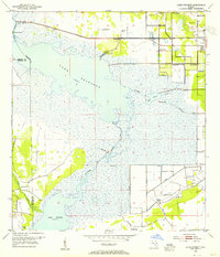
1953 Map of Lake Poinsett
USGS Topo · Published 1955About this map
The St Johns River winds through this central Florida landscape, connecting Lake Poinsett and Lake Winder during a period of significant water management. Surveyed in the early 1950s, the terrain is defined by its low-lying marshlands and the emerging infrastructure of canals and levees. Local life is concentrated near the water, with Lone Cabbage Camp and Poinsett Lodge serving as prominent landmarks for those navigating the river system. The eastern edge of the map shows the transition toward Rockledge, where the Pine Crest Cem and a Radio Tower provide fixed points on higher ground. Notable geographic features such as Mulberry Mound and several Flowing Wells suggest the historical importance of artesian water and elevated sites in this otherwise aquatic environment, while extensive Spoil Banks reflect the dredging activity that shaped the modern flow of the St. Johns.
Find a feature on this map
19 named features on this map. Tap any name to fly to it.
Don’t see what you’re looking for? This feature index may not catch every label — zoom into the map to look around manually.
Map Details
Editions of this 1953 Lake Poinsett Map
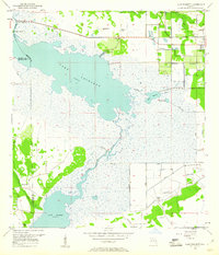
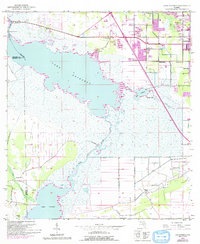
4 editions found
Other maps of this area

1949 · Courtenay
USGS Topo · 1:24,000

1949 · Eau Gallie
USGS Topo · 1:24,000

1949 · Sharpes
USGS Topo · 1:24,000

1949 · Cocoa
USGS Topo · 1:24,000

1951 · Eau Gallie
USGS Topo · 1:24,000

1951 · Cocoa
USGS Topo · 1:24,000

1951 · Courtenay
USGS Topo · 1:24,000

1951 · Sharpes
USGS Topo · 1:24,000

1953 · Lake Poinsett
USGS Topo · 1:24,000

1953 · Deer Park NE
USGS Topo · 1:24,000