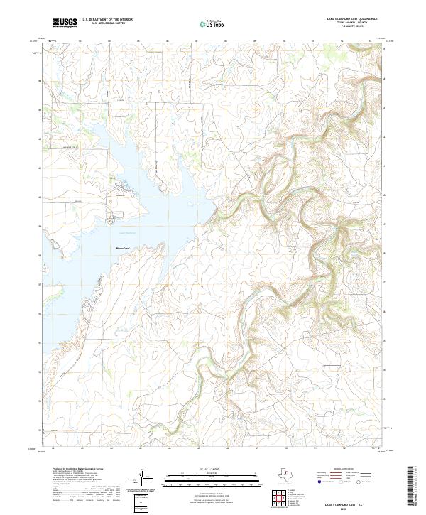
2022 Map of Lake Stamford East
USGS Topo · Published 2022About this map
Lake Stamford dominates this landscape in Haskell County, where the reservoir's eastern waters meet the rolling terrain of the Texas Rolling Plains. The map captures a transition from the structured recreational areas of Lakeshore Sites Rd and Earles Camp Rd to the natural drainage patterns of California Creek and Paint Creek. Near the southern end of the lake, the settlement of Stamford is identified, while the eastern reaches show the intricate contours around Buffalo Springs. The road network, including Park Road 601 and Power Plant Rd, suggests the area's utility as both a resource and a destination. This survey highlights the local geography of the Brazos River basin, where seasonal creeks like Horse Cr feed into the larger reservoir system.
Find a feature on this map
24 named features on this map. Tap any name to fly to it.
Don’t see what you’re looking for? This feature index may not catch every label — zoom into the map to look around manually.
Map Details
Editions of this 2022 Lake Stamford East Map
This is the sole edition of this map. No revisions or reprints were ever made.
Other maps of this area

1891 · Anson
USGS Topo · 1:125,000

1892 · Albany
USGS Topo · 1:125,000

1893 · Albany
USGS Topo · 1:125,000

1893 · Anson
USGS Topo · 1:125,000

1954 · Abilene
USGS Topo · 1:250,000

1954 · Wichita Falls
USGS Topo · 1:250,000

1958 · Wichita Falls
USGS Topo · 1:250,000

1958 · Abilene
USGS Topo · 1:250,000

1965 · Lueders NW
USGS Topo · 1:24,000

1965 · Lueders NE
USGS Topo · 1:24,000