
1958 Map of Lake Theboe
USGS Topo · Published 1959About this map
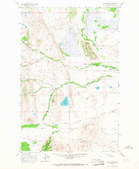
Lake Theboe sits at the center of this Teton County landscape, where the foothills of the Rockies meet the eastern plains. In the late 1950s, this area was defined by a series of family-held livestock operations, including Bowman Ranch, Salmond Ranch, and Yeager Ranch. The presence of the Saypo (Site) near Bellview Sch marks the location of a former community that served local ranching families along the Bellview Road corridor. The topography is characterized by a complex drainage system where the North Fork Willow Creek and South Fork Willow Creek converge, while the prominent Battle Ridge provides a natural barrier to the north. Further south, the terrain transitions into the coulees and ridges of the Kings Creek watershed, including the distinctive Long Ridge.
Find a feature on this map
27 named features on this map. Tap any name to fly to it.
Don’t see what you’re looking for? This feature index may not catch every label — zoom into the map to look around manually.
Map Details
Editions of this 1958 Lake Theboe Map
2 editions found
Other maps of this area

1903 · Saypo
USGS Topo · 1:125,000

1920 · Choteau
USGS Topo · 1:125,000

1955 · Choteau
USGS Topo · 1:250,000

1957 · Choteau
USGS Topo · 1:250,000

1958 · Choteau
USGS Topo · 1:250,000

1958 · Ear Mountain
USGS Topo · 1:24,000

1958 · Cave Mountain
USGS Topo · 1:24,000
1958 · Twin Lakes
USGS Topo · 1:24,000

1958 · Castle Reef
USGS Topo · 1:24,000
1958 · Split Rock Lake
USGS Topo · 1:24,000