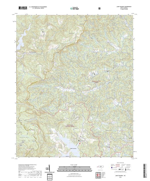
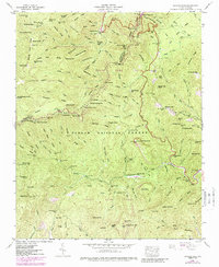
2022 Map of Lake Toxaway
USGS Topo · Published 2022About this map
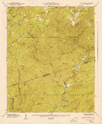
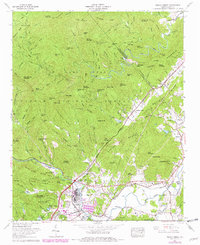
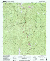
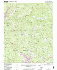
Lake Toxaway and the surrounding high country of the Great Balsam Mountains define this section of the Blue Ridge where the Tennessee Valley Divide splits the flow of water between the Atlantic and the Gulf. The landscape is a network of ridges and coves, with the Tuckasegee River and Toxaway River drawing from the steep slopes of Wolf Mtn and Toxaway Mtn. This modern survey documents the legacy of settlement through family-named landmarks and remote burial grounds, including the William Owen Cem and Mack McCall Cem nestled near Glassmine Mtn.
Find a feature on this map
136 named features on this map. Tap any name to fly to it.
Don’t see what you’re looking for? This feature index may not catch every label — zoom into the map to look around manually.
Map Details
Editions of this 2022 Lake Toxaway Map
This is the sole edition of this map. No revisions or reprints were ever made.
Historical Maps of Indian Lake Estates Through Time
25 maps found

1905 Pisgah
Transylvania County, NC
1906 Pisgah
Transylvania County, NC

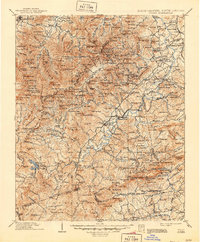
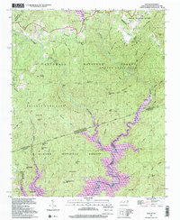
1935 Eastatoe Gap
Transylvania County, NC

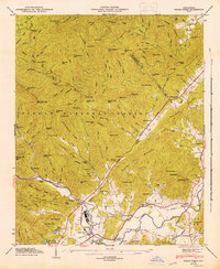
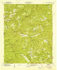
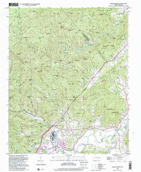
1935 Lake Toxaway
Transylvania County, NC

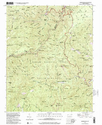
1935 Pisgah Forest
Transylvania County, NC

1935 Reid
Transylvania County, NC

1935 Shining Rock
Transylvania County, NC
1945 Pisgah Forest
Transylvania County, NC
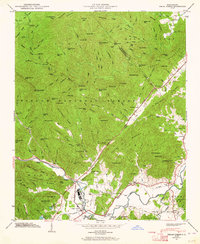
1946 Lake Toxaway
Transylvania County, NC
1946 Pisgah Forest
Transylvania County, NC
1946 Reid
Transylvania County, NC
1946 Shining Rock
Transylvania County, NC
1947 Lake Toxaway
Transylvania County, NC
1947 Reid
Transylvania County, NC
1965 Pisgah Forest
Transylvania County, NC
1997 Eastatoe Gap
Transylvania County, NC
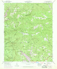
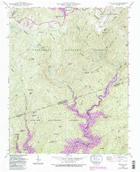
1997 Lake Toxaway
Transylvania County, NC
1997 Pisgah Forest
Transylvania County, NC
1997 Reid
Transylvania County, NC
1997 Shining Rock
Transylvania County, NC
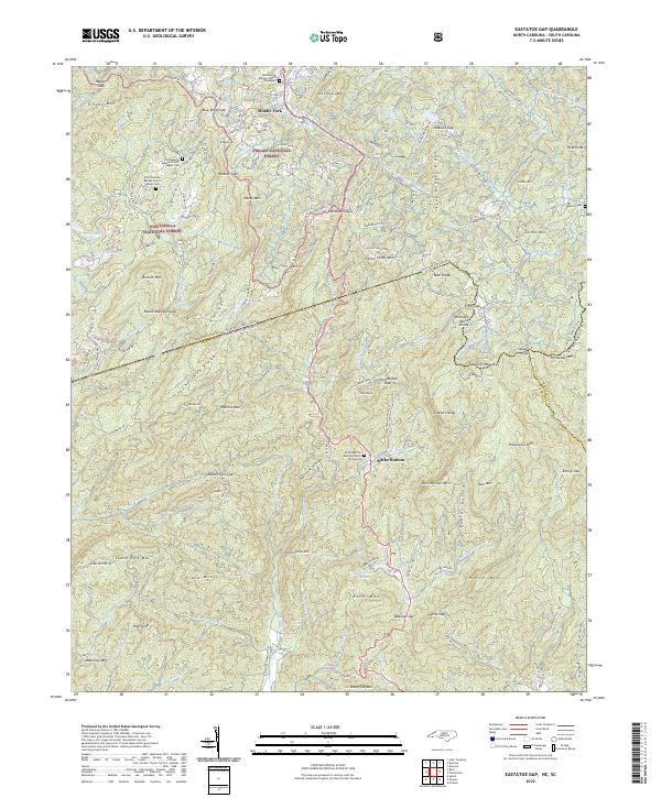
2022 Eastatoe Gap
Transylvania County, NC
2022 Lake Toxaway
Transylvania County, NC
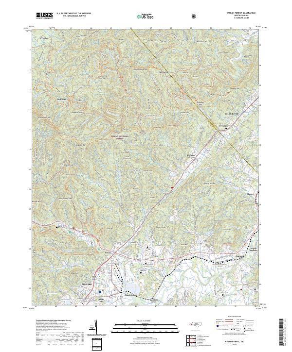
2022 Pisgah Forest
Transylvania County, NC
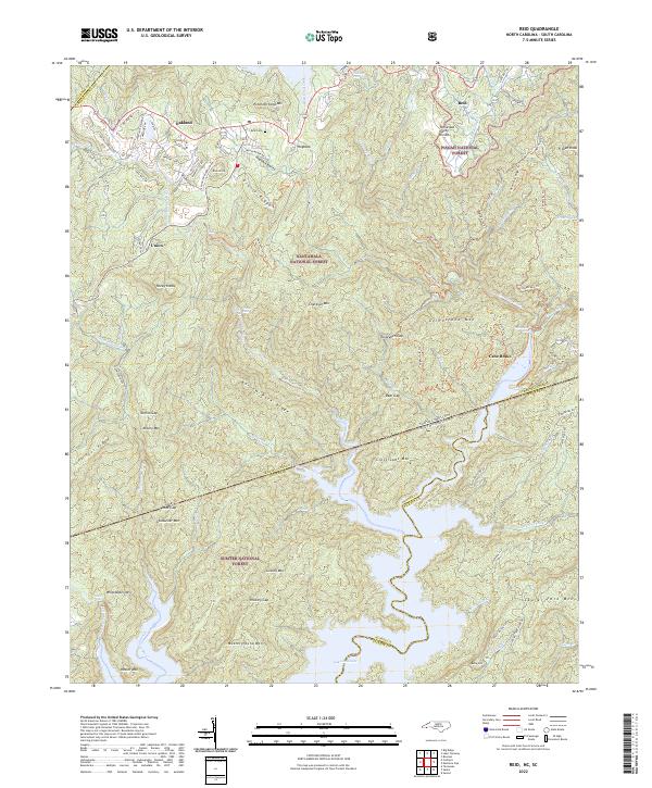
2022 Reid
Transylvania County, NC
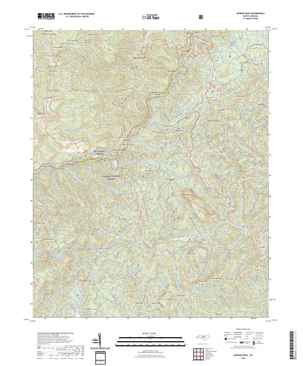
2022 Shining Rock
Transylvania County, NC