
1945 Map of Lake Worth
USGS Topo · Published 1962About this map
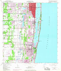
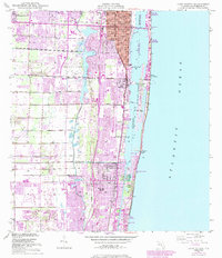
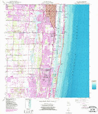
Lake Worth and the surrounding coastal communities are captured here in a period of significant mid-century transition. Two major rail corridors, the Florida East Coast and the Seaboard Air Line, parallel the shoreline, defining the narrow strip of development between the marshy interior and the Atlantic Ocean. The map reveals the intricate water network of the Intracoastal Waterway and the Boynton Canal, which helped drain the lowlands and facilitate the growth of towns like Lantana, Boynton Beach, and Greenacres City. Inland, the Palm Beach County Airport sits adjacent to Lake Osborne, serving as a landmark for the era's growing aviation infrastructure. The barrier island shows established enclaves at Manalapan and Hypoluxo Island, connected to the mainland by bridges as the Florida land boom began to solidify into permanent suburban landscapes.
Find a feature on this map
22 named features on this map. Tap any name to fly to it.
Don’t see what you’re looking for? This feature index may not catch every label — zoom into the map to look around manually.
Map Details
Editions of this 1945 Lake Worth Map
4 editions found
Other maps of this area

1945 · Greenacres City
USGS Topo · 1:24,000

1946 · Palm Beach Farms
USGS Topo · 1:24,000

1946 · Palm Beach
USGS Topo · 1:24,000

1947 · Delmar Farms
USGS Topo · 1:24,000

1949 · Lake Worth
USGS Topo · 1:24,000

1949 · Palm Beach Farms
USGS Topo · 1:24,000

1949 · Delmar Farms
USGS Topo · 1:24,000

1950 · Delray Beach
USGS Topo · 1:24,000

1950 · Greenacres City
USGS Topo · 1:24,000
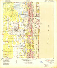
1950 · Palm Beach
USGS Topo · 1:24,000