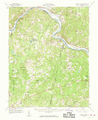
1960 Map of Lakeside Village
USGS Topo · Published 1962About this map
Elk Island sits at a prominent bend in the James River, where the Chesapeake and Ohio RR parallels the northern bank and the Chesapeake and Ohio Canal. This river-driven geography defines the borderlands of Fluvanna, Goochland, Cumberland, and Powhatan counties during the late 1950s. To the south, the Cumberland State Forest occupies much of the terrain, interspersed with local crossroads like Ashby and Oak Forest. The landscape is dotted with rural infrastructure, including the Flippen Millpond and numerous family-named landmarks such as Duncan Store. Along the southern reaches, small communities such as Ballsville and Clinton are linked by a network of unimproved dirt roads and light-duty paths. The presence of schools like New Hope Sch and Pine Grove Sch, alongside churches such as Little Fork Ch, reflects a traditional Piedmont settlement pattern before modern suburban expansion.
Find a feature on this map
117 named features on this map. Tap any name to fly to it.
Don’t see what you’re looking for? This feature index may not catch every label — zoom into the map to look around manually.
Map Details
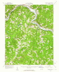
Editions of this 1960 Lakeside Village Map
2 editions found
Other maps of this area

1890 · Goochland
USGS Topo · 1:125,000

1891 · Palmyra
USGS Topo · 1:125,000

1891 · Farmville
USGS Topo · 1:125,000

1892 · Goochland
USGS Topo · 1:125,000

1893 · Farmville
USGS Topo · 1:125,000

1895 · Palmyra
USGS Topo · 1:125,000

1897 · Amelia
USGS Topo · 1:125,000

1897 · Palmyra
USGS Topo · 1:125,000

1943 · Goochland
USGS Topo · 1:31,680

1943 · Powhatan
USGS Topo · 1:31,680