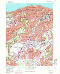
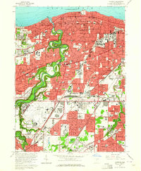
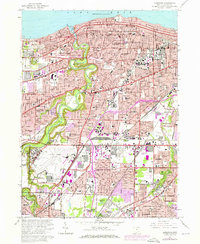
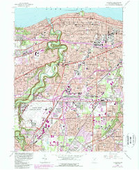
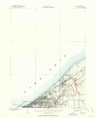
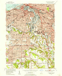
1963 Map of Lakewood
USGS Topo · Published 1985About this map
Lake Erie defines the northern boundary of this densely developed shoreline, where the Rocky River carves a deep valley through the residential landscape. The map illustrates the intense urbanization of the mid-20th century, with purple tinting marking the expansion of Lakewood, Rocky River, and Cleveland into the surrounding suburbs. This era sees the convergence of major transportation infrastructure, including the Cleveland-Hopkins International Airport and the complex rail networks of the Norfolk and Western and Conrail.
Find a feature on this map
78 named features on this map. Tap any name to fly to it.
Don’t see what you’re looking for? This feature index may not catch every label — zoom into the map to look around manually.
Map Details
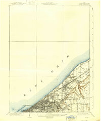
Editions of this 1963 Lakewood Map
4 editions found
Other maps of this area
1901 · Euclid
USGS Topo · 1:62,500

1902 · Berea
USGS Topo · 1:62,500

1903 · Cleveland
USGS Topo · 1:62,500
1903 · Euclid
USGS Topo · 1:62,500

1904 · Berea
USGS Topo · 1:62,500

1950 · Cleveland
USGS Topo · 1:250,000
1953 · West View
USGS Topo · 1:24,000
1953 · Broadview Heights
USGS Topo · 1:24,000
1953 · Berea
USGS Topo · 1:24,000
1953 · Cleveland South
USGS Topo · 1:24,000