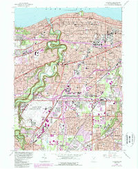
1963 Map of Lakewood
USGS Topo · Published 1989About this map
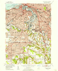
The Rocky River carves a deep, winding path toward Lake Erie in this mid-century portrait of suburban expansion west of Cleveland. The landscape is defined by the sharp contrast between the dense residential grids of Lakewood and the sprawling green corridor of the Rocky River Reservation, which protects the valley's steep slopes from urban development. To the south, the massive footprint of the Cleveland-Hopkins International Airport dominates the terrain, signaling the era's rapid industrial and transportation growth. Neighborhoods like Fairview Park and Brook Park show a high concentration of parochial education and local institutions, including Magnificat High Sch and St Edwards High Sch. Traces of older geography persist along Butternut Ridge and North Ridge, while the extensive Conrail and Norfolk and Western rail lines highlight the heavy industrial infrastructure supporting the region's economy.
Find a feature on this map
130 named features on this map. Tap any name to fly to it.
Don’t see what you’re looking for? This feature index may not catch every label — zoom into the map to look around manually.
Map Details
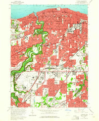
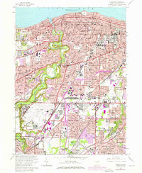
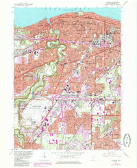
Editions of this 1963 Lakewood Map
4 editions found
Other maps of this area

1901 · Euclid
USGS Topo · 1:62,500

1902 · Berea
USGS Topo · 1:62,500

1903 · Cleveland
USGS Topo · 1:62,500

1903 · Euclid
USGS Topo · 1:62,500

1904 · Berea
USGS Topo · 1:62,500

1950 · Cleveland
USGS Topo · 1:250,000

1953 · West View
USGS Topo · 1:24,000

1953 · Broadview Heights
USGS Topo · 1:24,000

1953 · Berea
USGS Topo · 1:24,000
1953 · Cleveland South
USGS Topo · 1:24,000