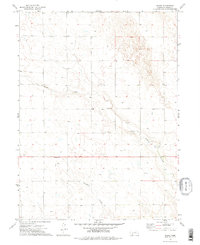
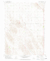
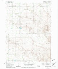
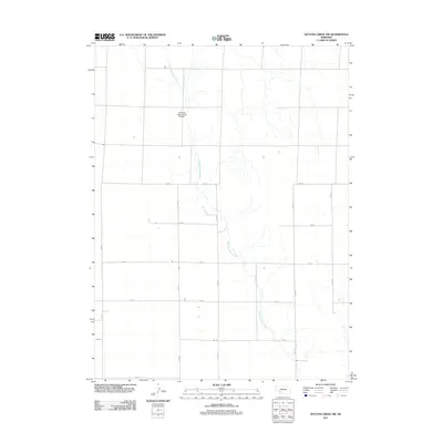
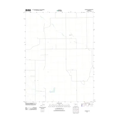
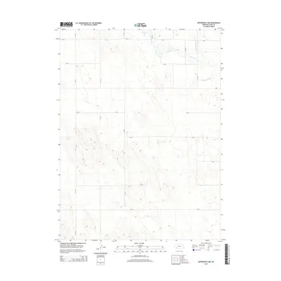
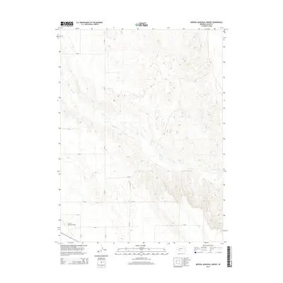
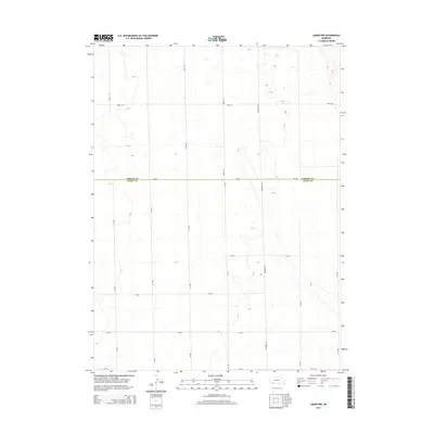
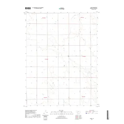
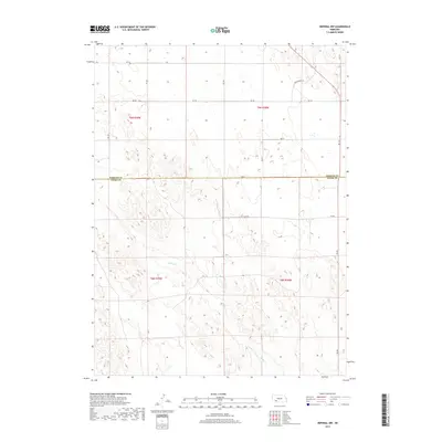
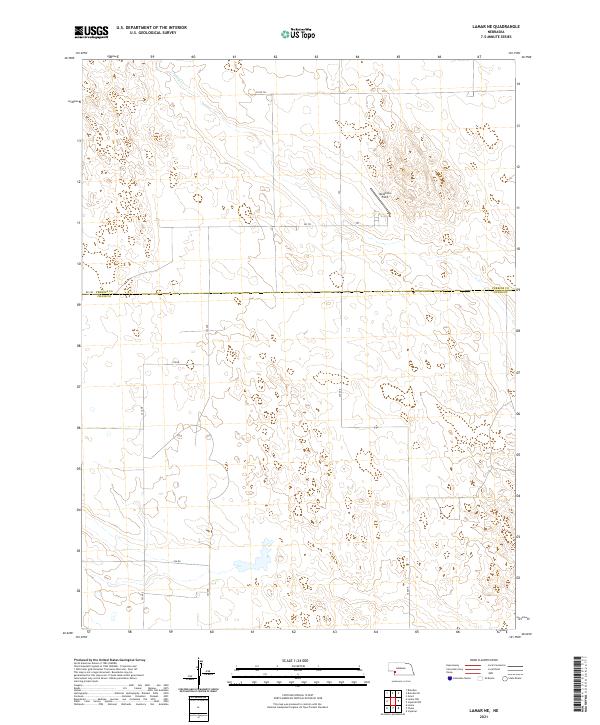
1961 Map of Lamar NW
USGS Topo · Published 1976About this map
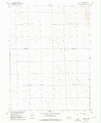
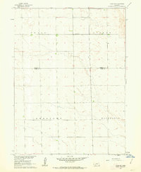
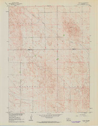
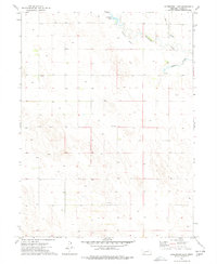
Greenfield Ch stands as a lonely landmark near the center of this high plains landscape on the border of Chase Co and Perkins Co. Surveyed in the early 1960s, the map reveals a vast agricultural grid organized into townships like Grace, Lisbon, Jamestown, and Macedonia. The terrain is characterized by intricate contouring that illustrates the natural drainage and depressions typical of the Nebraska sandhills region. This specific survey was conducted as part of the Department of the Interior program for the development of the Missouri River Basin, capturing the area before modern industrial farming further altered the prairie surface. Researchers can trace section lines and early unimproved roads that connected these quiet rural townships.
Find a feature on this map
6 named features on this map. Tap any name to fly to it.
Don’t see what you’re looking for? This feature index may not catch every label — zoom into the map to look around manually.
Map Details
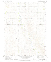
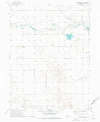
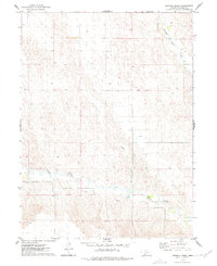
Editions of this 1961 Lamar NW Map
2 editions found
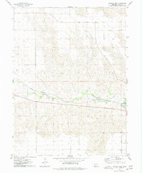
Historical Maps of Chase County Through Time
56 maps found
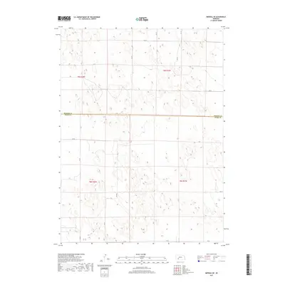
1961 Lamar NE
Chase County, NE
1961 Lamar NW
Chase County, NE
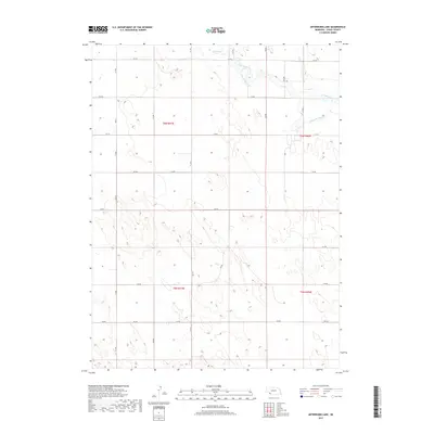
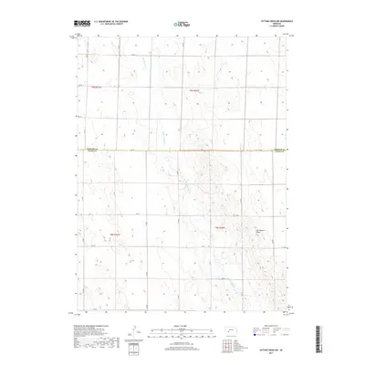
1973 Arterburn Lake
Chase County, NE
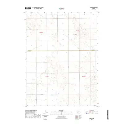
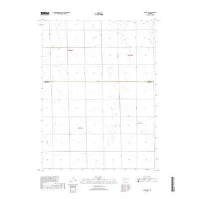
1973 Chase
Chase County, NE
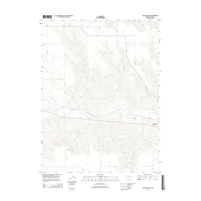
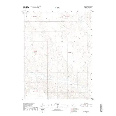
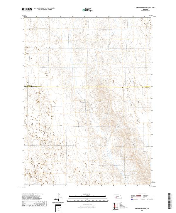
1973 Dittons Creek NW
Chase County, NE
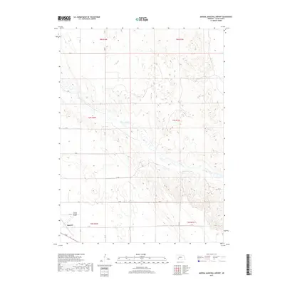
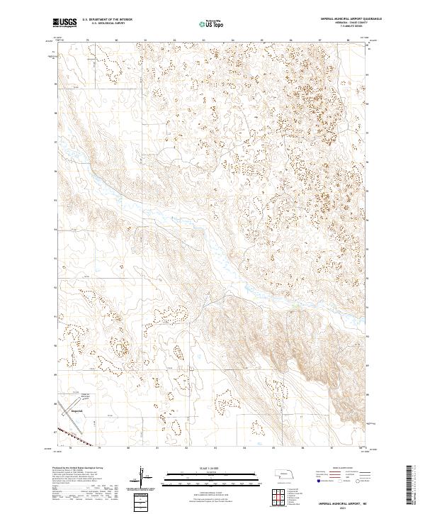
1973 Imperial Municipal Airport
Chase County, NE
1973 Imperial NE
Chase County, NE
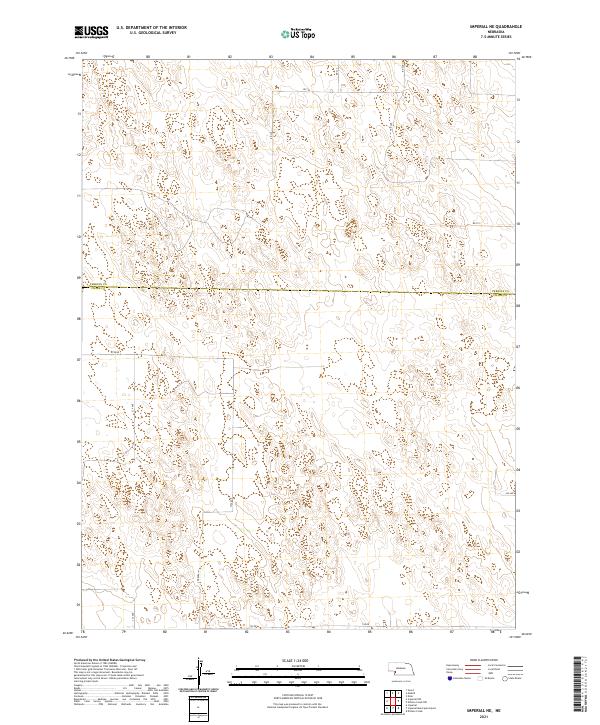
1973 Imperial NW
Chase County, NE
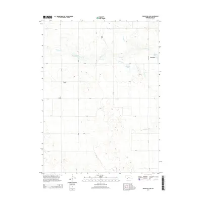
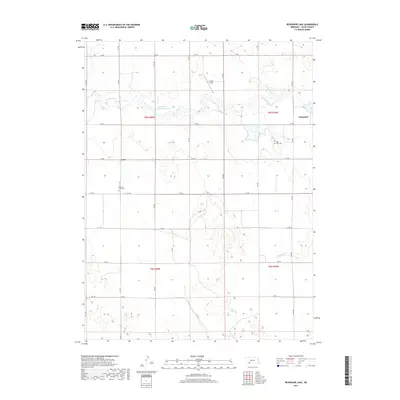
1973 Reservoir Lake
Chase County, NE
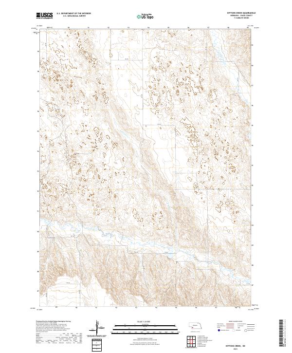
1974 Dittons Creek
Chase County, NE
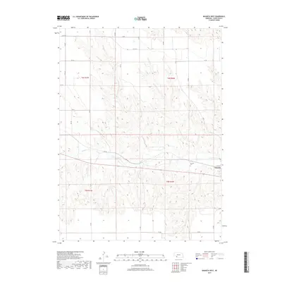
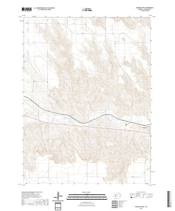
1974 Wauneta West
Chase County, NE
1982 Lambs Lake NE
Chase County, NE
2011 Arterburn Lake
Chase County, NE
2011 Chase
Chase County, NE
2011 Dittons Creek
Chase County, NE
2011 Dittons Creek NW
Chase County, NE
2011 Imperial Municipal Airport
Chase County, NE
2011 Imperial NE
Chase County, NE
2011 Imperial NW
Chase County, NE
2011 Lamar NE
Chase County, NE
2011 Lamar NW
Chase County, NE
2011 Reservoir Lake
Chase County, NE
2011 Wauneta West
Chase County, NE
2014 Arterburn Lake
Chase County, NE
2014 Chase
Chase County, NE
2014 Dittons Creek
Chase County, NE
2014 Dittons Creek NW
Chase County, NE
2014 Imperial Municipal Airport
Chase County, NE
2014 Imperial NE
Chase County, NE
2014 Imperial NW
Chase County, NE
2014 Lamar NE
Chase County, NE
2014 Lamar NW
Chase County, NE
2014 Reservoir Lake
Chase County, NE
2014 Wauneta West
Chase County, NE
2017 Arterburn Lake
Chase County, NE
2017 Chase
Chase County, NE
2017 Dittons Creek
Chase County, NE
2017 Dittons Creek NW
Chase County, NE
2017 Imperial Municipal Airport
Chase County, NE
2017 Imperial NE
Chase County, NE
2017 Imperial NW
Chase County, NE
2017 Lamar NE
Chase County, NE
2017 Lamar NW
Chase County, NE
2017 Reservoir Lake
Chase County, NE
2017 Wauneta West
Chase County, NE
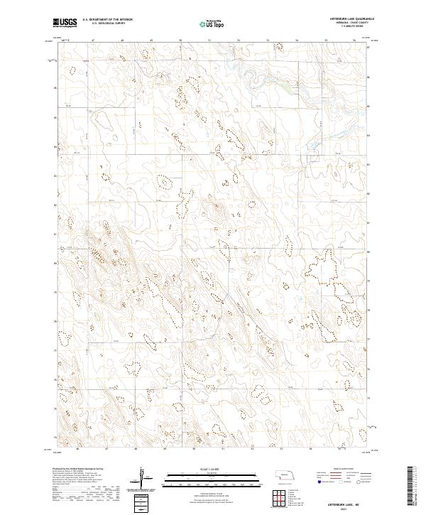
2021 Arterburn Lake
Chase County, NE
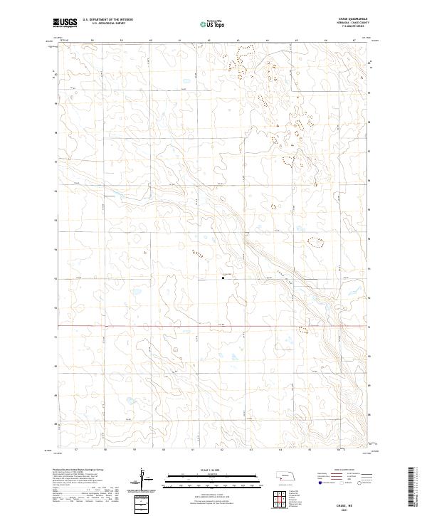
2021 Chase
Chase County, NE
2021 Dittons Creek
Chase County, NE
2021 Dittons Creek NW
Chase County, NE
2021 Imperial Municipal Airport
Chase County, NE
2021 Imperial NE
Chase County, NE
2021 Imperial NW
Chase County, NE
2021 Lamar NE
Chase County, NE
2021 Lamar NW
Chase County, NE
2021 Reservoir Lake
Chase County, NE
2021 Wauneta West
Chase County, NE