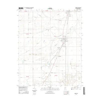
2015 Map of Lambert
USGS Topo · Published 2015About this map
The town of Lambert anchors this portion of the Mississippi Delta, showing a landscape defined by the drainage patterns of Buck Bayou and the winding Buzzard Bayou. The map illustrates a dense network of rural roads and section lines typical of Quitman County, where agricultural land is segmented by routes such as Caffey Rd and Sabino Rd. To the north, the seat of Marks is partially visible, connected to the southern settlements by the corridors of the Killibrew Rd and Chun Rd.
Find a feature on this map
67 named features on this map. Tap any name to fly to it.
Don’t see what you’re looking for? This feature index may not catch every label — zoom into the map to look around manually.
Map Details
Editions of this 2015 Lambert Map
This is the sole edition of this map. No revisions or reprints were ever made.
Other maps of this area

1908 · Jonestown
USGS Topo · 1:24,000

1910 · Jonestown
USGS Topo · 1:31,680

1932 · Sledge
USGS Topo · 1:48,000

1932 · Tutwiler
USGS Topo · 1:48,000

1932 · Marks
USGS Topo · 1:48,000

1935 · Crowder
USGS Topo · 1:62,500

1935 · Marks
USGS Topo · 1:62,500

1935 · Tutwiler
USGS Topo · 1:62,500

1935 · Sledge
USGS Topo · 1:62,500

1939 · Sledge
USGS Topo · 1:62,500