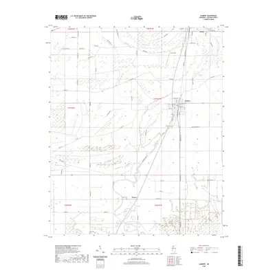
2020 Map of Lambert
USGS Topo · Published 2020About this map
Lambert stands at the center of this Mississippi Delta landscape, where a dense network of local roads such as Sabino Rd and Killebrew Rd reveal the area's agricultural development. The terrain is defined by its complex hydrography, with the meandering courses of Buzzard Bayou and Buck Bayou cutting across the survey area. These waterways, along with Buford Lake and Buckskin Lake, illustrate the low-lying, alluvial character of Quitman County.
Find a feature on this map
72 named features on this map. Tap any name to fly to it.
Don’t see what you’re looking for? This feature index may not catch every label — zoom into the map to look around manually.
Map Details
Editions of this 2020 Lambert Map
This is the sole edition of this map. No revisions or reprints were ever made.
Other maps of this area

1908 · Jonestown
USGS Topo · 1:24,000

1910 · Jonestown
USGS Topo · 1:31,680

1932 · Sledge
USGS Topo · 1:48,000

1932 · Tutwiler
USGS Topo · 1:48,000

1932 · Marks
USGS Topo · 1:48,000

1935 · Crowder
USGS Topo · 1:62,500

1935 · Marks
USGS Topo · 1:62,500

1935 · Tutwiler
USGS Topo · 1:62,500

1935 · Sledge
USGS Topo · 1:62,500

1939 · Sledge
USGS Topo · 1:62,500