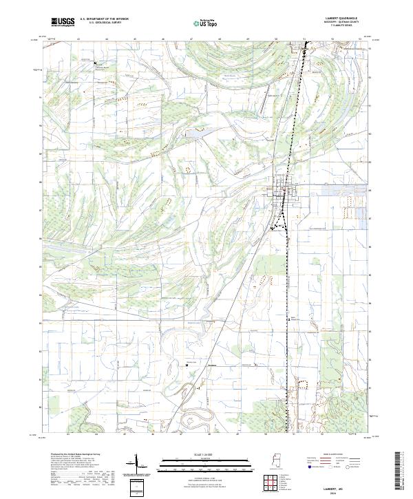
2024 Map of Lambert
USGS Topo · Published 2024About this map
Lambert and Marks serve as the primary hubs in this delta landscape, where the rectilinear grid of agricultural drainage and section roads meets the winding courses of Buzzard Bayou and Buck Bayou. The geography is defined by a series of family-named landmarks and rural institutions that provide deep value for genealogical research, including the Greenhill Missionary Baptist Church Cem and Sykes Chapel Cem. Large tracts of land are managed by the Farm Service Agency Interest of Mississippi, highlighting the region's enduring reliance on large-scale agriculture. Aviation history is noted at Selfs Airport north of Lambert, while water bodies like Buford Lake and Dorsey Lake break the patterned fields. The network of local routes such as Sabino Rd and Caffey Rd connect scattered homesteads to the small settlements of Denton and the surrounding townships.
Find a feature on this map
77 named features on this map. Tap any name to fly to it.
Don’t see what you’re looking for? This feature index may not catch every label — zoom into the map to look around manually.
Map Details
Editions of this 2024 Lambert Map
This is the sole edition of this map. No revisions or reprints were ever made.
Other maps of this area

1908 · Jonestown
USGS Topo · 1:24,000

1910 · Jonestown
USGS Topo · 1:31,680

1932 · Sledge
USGS Topo · 1:48,000

1932 · Tutwiler
USGS Topo · 1:48,000

1932 · Marks
USGS Topo · 1:48,000

1935 · Crowder
USGS Topo · 1:62,500

1935 · Marks
USGS Topo · 1:62,500

1935 · Tutwiler
USGS Topo · 1:62,500

1935 · Sledge
USGS Topo · 1:62,500

1939 · Sledge
USGS Topo · 1:62,500